

- Usage in publication:
-
- Frosty Peak volcanics*
- Modifications:
-
- Named
- Dominant lithology:
-
- Basalt
- Pyroclastics
- AAPG geologic province:
-
- Alaska Southwestern region
- Alaska Peninsula province
Summary:
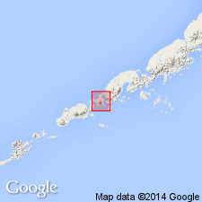
Type locality designated as Frosty Peak, nested summit cone of Quaternary volcano on western end of Alaska Peninsula between Cold Bay on east and Morzhovoi Bay on west. Consists of lava flows and pyroclastic rocks erupted from Frosty volcano which are mostly augite basalt or hypersthene-augite basalt with some hornblende basalt. Rocks are predominantly light gray and porphyritic. Cone is approximately 1.5 mi in basal diameter; summit is approximately 6700 ft above sea level. Overlies Morzhovoi volcanics (new). Underlies Quaternary glacial drift. Age of volcano not known; presumed to be no older than Pleistocene.
Source: GNU records (USGS DDS-6; Menlo GNULEX).
For more information, please contact Nancy Stamm, Geologic Names Committee Secretary.
Asterisk (*) indicates published by U.S. Geological Survey authors.
"No current usage" (†) implies that a name has been abandoned or has fallen into disuse. Former usage and, if known, replacement name given in parentheses ( ).
Slash (/) indicates name conflicts with nomenclatural guidelines (CSN, 1933; ACSN, 1961, 1970; NACSN, 1983, 2005, 2021). May be explained within brackets ([ ]).