- Usage in publication:
-
- Fandangle limestone*
- Modifications:
-
- Named
- Dominant lithology:
-
- Limestone
- AAPG geologic province:
-
- Great Basin province
Summary:
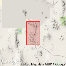
Named for outcrops near Fandangle Canyon, T10S, R11W, Tooele Co, UT in the Great Basin province. Type section measured north side of Straight Canyon, T10S, R11W, because section in Fandangle Canyon is dolomitized. Is also exposed in Bullion Canyon. Is 1,669 ft thick at type where it overlies Trailer limestone (new) and underlies Lamb dolomite. Base exposed only in a few places. Thickens southward. Is characterized by massive, medium blue-gray limestone. Upper part is laminated and weathers white, pink, or yellow. Base marked by prominent massive gray limestone cliff above covered slopes of thin-bedded Trailer limestone. A thin-bedded gray limestone with intraformational conglomerate and tube- and worm-like markings present at top. Extends south into Juab Co. Contains poorly preserved trilobites. Probably a shallow-water deposit. Of Middle Cambrian age. Geologic map. Stratigraphic section.
Source: GNU records (USGS DDS-6; Denver GNULEX).
For more information, please contact Nancy Stamm, Geologic Names Committee Secretary.
Asterisk (*) indicates published by U.S. Geological Survey authors.
"No current usage" (†) implies that a name has been abandoned or has fallen into disuse. Former usage and, if known, replacement name given in parentheses ( ).
Slash (/) indicates name conflicts with nomenclatural guidelines (CSN, 1933; ACSN, 1961, 1970; NACSN, 1983, 2005, 2021). May be explained within brackets ([ ]).

