

- Usage in publication:
-
- Esmeralda formation*
- Modifications:
-
- Original reference
- Dominant lithology:
-
- Sandstone
- Shale
- Marl
- AAPG geologic province:
-
- Great Basin province
Summary:
Pg. 168-170; USGS 21st Ann. Rpt., pt. 2, p. 197-208. Esmeralda formation. Fresh-water lake deposit, consisting of sandstones, shales, and lacustral marls, with local development of breccia and conglomerate on large scale; rhyolitic and basaltic lavas and tuffs at top in some places; also layers of rhyolitic and andesitic tuff lower down in formation. Thickness 14,800 feet. Underlies rhyolitic and andesitic eruptive rocks. Named from development in Esmeralda County, Nevada [before county was subdivided]. Age is late Miocene.
Source: US geologic names lexicon (USGS Bull. 896, p. 700).
- Usage in publication:
-
- Esmeralda formation*
- Modifications:
-
- Areal extent
- AAPG geologic province:
-
- Great Basin province
Summary:
Mapped Siebert lake beds (now abandoned for Esmeralda formation, the older name) in Inyo County, eastern California.
Source: US geologic names lexicon (USGS Bull. 896, p. 700).
- Usage in publication:
-
- Esmeralda formation*
- Modifications:
-
- Revised
- AAPG geologic province:
-
- Great Basin province
Summary:
Pg. 43-50. Esmeralda formation. In Manhattan district, subdivided into (ascending) Hedwig breccia, Round Rock, Diamond King, and Bald Mountain lake beds members.
Source: US geologic names lexicon (USGS Bull. 1200, p. 1282-1283).
- Usage in publication:
-
- Esmeralda formation*
- Modifications:
-
- Age modified
- AAPG geologic province:
-
- Great Basin province
Summary:
Esmeralda formation. Age is early Pliocene.
Source: US geologic names lexicon (USGS Bull. 1200, p. 1282-1283).
- Usage in publication:
-
- Esmeralda formation*
- Modifications:
-
- Mapped
- AAPG geologic province:
-
- Great Basin province
Summary:
Esmeralda formation. Roughly divisible into two lithologic units: upper, dominantly sedimentary but containing some volcanic material; lower, in which pyroclastic material grading from fine-grained tuff and pumice to coarse rhyolite breccia exceeds the bedded material. Sedimentary rocks include fanglomerate, conglomerate, and coarse sandstone at normal contact with older rocks grading outward into fine-grained sandstone, calcareous and sandy shales, marls, and impure hard limestones. Estimated thickness 1,000 feet in Stewart Valley, probably thicker to south, but estimate of 14,800 feet at type locality is probably excessive. Older than Oddie rhyolite. Age is [late] Miocene and [early] Pliocene.
Source: US geologic names lexicon (USGS Bull. 1200, p. 1282-1283).
- Usage in publication:
-
- Esmeralda Formation*
- Modifications:
-
- Areal extent
- Revised
- AAPG geologic province:
-
- Great Basin province
Summary:
Esmeralda formation geographically restricted from report area; rocks were miscorrelated with type Esmeralda. Round Rock, Diamond King, and Bald Mountain Lake Beds Members and quartz latite member of Esmeralda in report area (Ferguson, 1924) are raised to formational status and called the Round Rock, Diamond King, and Bald Mountain Formations, and the tuff of Peavine Creek, respectively (ascending). Rocks assigned to Hedwig Breccia Member are renamed megabreccia unit of Sloppy Gulch (unit of Round Rock Formation) and name Hedwig Breccia Member abandoned. Ages of these new formations are all latest Oligocene; age of type Esmeralda is late Miocene to late Pliocene.
Source: GNU records (USGS DDS-6; Menlo GNULEX).
- Usage in publication:
-
- Esmeralda Formation*
- Modifications:
-
- Geochronologic dating
- AAPG geologic province:
-
- Great Basin province
Summary:
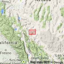
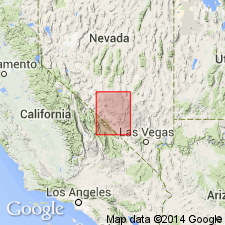
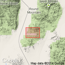
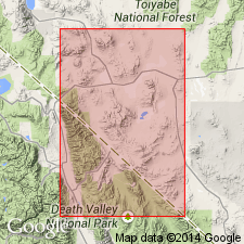
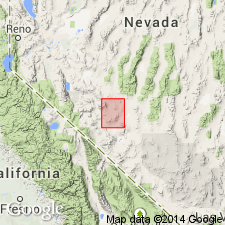
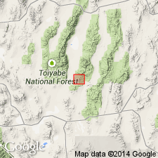
Pg. 6, geologic time scale (inside front cover). Esmeralda Formation. Obsidian collected several inches above base of Esmeralda Formation. Previously published age of 15.2 Ma (Ekren and Byers, 1978, USGS OFR-85-475) is recalculated using decay constants recommended by the IUGS Subcommission on Geochronology (Steiger and Jager, 1977, Earth and Planetary Science Letters, v. 36, p. 359-362). K-Ar age on glass 15.6 +/-0.5 Ma [Miocene]. Sample no. USGS(D)75FB144. Sample locality: Lat. 38 deg. 56 min. N., Long. 118 deg. 04 min. W., Mount Annie NE 7.5-min quadrangle, Nye Co., NV. Collected by F.M. Byers. Age determined by USGS personnel in Denver, CO (R.F. Marvin, H.H. Mehnert, E.A. Brandt).
Source: Publication.
For more information, please contact Nancy Stamm, Geologic Names Committee Secretary.
Asterisk (*) indicates published by U.S. Geological Survey authors.
"No current usage" (†) implies that a name has been abandoned or has fallen into disuse. Former usage and, if known, replacement name given in parentheses ( ).
Slash (/) indicates name conflicts with nomenclatural guidelines (CSN, 1933; ACSN, 1961, 1970; NACSN, 1983, 2005, 2021). May be explained within brackets ([ ]).