

- Usage in publication:
-
- Enchantment Lake Formation*
- Modifications:
-
- Original reference
- Dominant lithology:
-
- Graywacke
- Arkose
- Slate
- Quartzite
- Conglomerate
- AAPG geologic province:
-
- Lake Superior region
- Wisconsin arch
Summary:
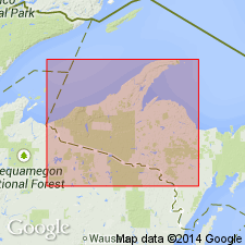
Pg. 27-34. Enchantment Lake Formation of Chocolay Group of Animikie series. Oldest rocks of Animikie series of James (1958) and equivalent to lower Huronian of earlier reports. Rocks were formerly included in overlying Mesnard Quartzite (restricted) of Chocolay Group. Present in Marquette and Sands 7.5-min quadrangles, Marquette County, northwestern Michigan; is probably discontinuous and lenticular. The formation is roughly gradational from coarse congolmerate at the bottom through interbedded graywacke slate, wacke, arkose, and subarkose to sericite slate and sericitic quartzite at the top. Maximum thickness 500 feet. Is basal formation of Chocolay Group. Correlated with Fern Creek Formation of Menominee Range. Age is middle Precambrian.
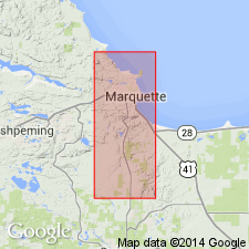
Type locality: just north of Enchantment Lake, in sec. 29, T. 48 N., R. 25 W., Marquette 7.5-min quadrangle, Marquette Co., Northern Peninsula, northwestern MI. Also ocurrs in scattered outcrops from 0.5 mi northwest to 1.5 mi east of lake. Named from Enchantment Lake, in secs. 29 and 32, T. 48 N., R. 25 W.
Source: Publication; Changes in stratigraphic nomenclature, 1968 (USGS Bull. 1294-A, p. A7).
- Usage in publication:
-
- Enchantment Lake Formation*
- Modifications:
-
- Overview
- AAPG geologic province:
-
- Lake Superior region
Summary:
Pg. 2845 (fig. 2, stratigraphic chart compiled from Leith and others, 1935; James, 1958; Gair and Thaden, 1968). Enchantment Lake Formation of Chocolay Group of Marquette Range Supergroup (new; replaces †Animikie series of James, 1958, south of Lake Superior, in Michigan and Wisconsin). Present in Marquette Range, northwestern Michigan. Underlies Mesnard Quartzite of Chocolay Group; unconformably overlies lower Precambrian gneiss. Age is middle Precambrian.
Source: Publication.
- Usage in publication:
-
- Enchantment Lake Formation*
- Modifications:
-
- Overview
- Dominant lithology:
-
- Conglomerate
- Graywacke
- Arkose
- Quartzite
- Slate
- AAPG geologic province:
-
- Lake Superior region
Summary:
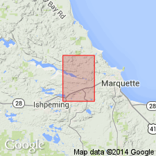
Is lowermost middle Precambrian formation mapped in narrow east-west trending belt across southern part of Negaunee quadrangle, Marquette Co, MI (Lake Superior region). Is basal metasedimentary unit of Chocolay Group (revised) of Marquette Range Supergroup (revised) in Marquette syncline. Unconformably overlies Mona Schist (lower Precambrian) on north limb of Eagle Mills syncline; is overlain by Mesnard Quartzite (revised) of Chocolay Group. These strata were previously included in lower part of Mesnard Quartzite as mapped by Seaman (in Van Hise and Leith, 1911, p. 19). Map unit described as conglomerate, graywacke, arkose, sericitic quartzite, and sericitic slate; lenticular; maximum thickness 150 ft. Basal conglomerate with abundant white quartz pebbles and cobbles as large as 5 in, more commonly less than 2 in diameter; matrix commonly feldspathic quartzite or arkose; arkose consists of angular feldspar, predominantly microcline, quartz grains, and sericitic matrix; clastic muscovite and detrital and authigenic tourmaline common, and chert pebbles a minor constituent; chlorite present locally. Is shown correlative with Reany Creek Formation on correlation of map units (pl. 1); Reany Creek is noted to be similar; no meaningful radiometric age data on which to base correlation.
Source: GNU records (USGS DDS-6; Reston GNULEX).
For more information, please contact Nancy Stamm, Geologic Names Committee Secretary.
Asterisk (*) indicates published by U.S. Geological Survey authors.
"No current usage" (†) implies that a name has been abandoned or has fallen into disuse. Former usage and, if known, replacement name given in parentheses ( ).
Slash (/) indicates name conflicts with nomenclatural guidelines (CSN, 1933; ACSN, 1961, 1970; NACSN, 1983, 2005, 2021). May be explained within brackets ([ ]).