- Usage in publication:
-
- Dutch Creek formation
- Modifications:
-
- First used
- Dominant lithology:
-
- Slate
- Quartzite
- Limestone
Summary:
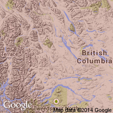
Is the oldest formation exposed in the southern and western parts of the Windermere area. No type locality designated. Name derived from Dutch Creek, B.C., CN. Geologic map. Three typical sections described. Is assigned to the Purcell series [= Belt Series of US (Wilmarth, 1938, US geologic names lexicon, USGS Bull. 896, p. 1746)] as the lower of two formations. Is equivalent to the upper Gateway, the Phillips and Roosville formations of the Purcell to south. Has three major lithologies: 1) a dark gray to black, laminated slate, the predominant lithology, occurs in beds 2 to 4 in thick, pyrite cubes are common in the slate at the top of the formation, but rarely at other slate horizons; 2) a greenish, fine-grained, thin-bedded quartzite; 3) gray, crystalline, thin-bedded magnesian limestone which total 3,500 ft thick. The Mount Nelson formation (new) of the Purcell conformably overlies the Dutch Creek. Of late Precambrian age.
Source: GNU records (USGS DDS-6; Denver GNULEX).

- Usage in publication:
-
- Dutch Creek Formation
- Modifications:
-
- Overview
Summary:
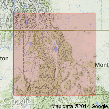
Used in the Dewar Creek and Nelson areas in B.C. See figures 4 and 6 for correlatives in the Precambrian Purcell Supergroup in Alberta and British Columbia, Canada, and for correlatives in the Belt Supergroup of the U.S. in the Northern Rocky Mountain region.
Source: GNU records (USGS DDS-6; Denver GNULEX).
For more information, please contact Nancy Stamm, Geologic Names Committee Secretary.
Asterisk (*) indicates published by U.S. Geological Survey authors.
"No current usage" (†) implies that a name has been abandoned or has fallen into disuse. Former usage and, if known, replacement name given in parentheses ( ).
Slash (/) indicates name conflicts with nomenclatural guidelines (CSN, 1933; ACSN, 1961, 1970; NACSN, 1983, 2005, 2021). May be explained within brackets ([ ]).

