

- Usage in publication:
-
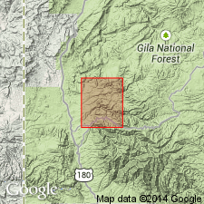
- Dog Gulch Formation*
- Modifications:
-
- Age modified
- Geochronologic dating
- AAPG geologic province:
-
- Basin-and-Range province
Summary:
Age changed from late Tertiary to Miocene. Basis for change is a date of 15.2 +/-0.4 m.y. obtained from a basalt that overlies the Dog Gulch in Bearwallow Mountain quad to east.
Source: GNU records (USGS DDS-6; Denver GNULEX).
For more information, please contact Nancy Stamm, Geologic Names Committee Secretary.
Asterisk (*) indicates published by U.S. Geological Survey authors.
"No current usage" (†) implies that a name has been abandoned or has fallen into disuse. Former usage and, if known, replacement name given in parentheses ( ).
Slash (/) indicates name conflicts with nomenclatural guidelines (CSN, 1933; ACSN, 1961, 1970; NACSN, 1983, 2005, 2021). May be explained within brackets ([ ]).