

- Usage in publication:
-
- Dinner Creek Welded Ash-Flow Tuff
- Modifications:
-
- Named
- Dominant lithology:
-
- Tuff
- AAPG geologic province:
-
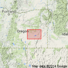
- Snake River basin
Summary:
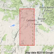
Named for exposures on Dinner Creek and at type section on Conroy Creek, 0.5 mi north of Lower Deacon Flat Reservoir, NW/4 SE/4 sec.30 T21S R39E, Malheur Co, OR. Crops out as prominent ledge in Monument Peak and Malheur Gorge districts. Consists of pale-brown to grayish-red rhyolitic welded ash-flow tuff. Where completely displayed has lower zone of no welding; zone of dense welding; upper zone of partial welding which includes lithophysal zone; perhaps upper zone of no welding. Thickness ranges from 20 to 200 ft. Overlies unnamed igneous complex in Monument Peak and Malheur Gorge districts. Underlies Hunter Creek Basalt (new). Overlain, indirectly by Butte Creek Volcanic Sandstone (new) which contains Barstovian fossils. Correlation chart shows Miocene age.
Source: GNU records (USGS DDS-6; Menlo GNULEX).
- Usage in publication:
-
- Dinner Creek Welded Tuff*
- Modifications:
-
- Adopted
- Redescribed
- AAPG geologic province:
-
- Snake River basin
Summary:
Dinner Creek Welded Ash-Flow Tuff (Kittleman and others, 1965) adopted as Dinner Creek Welded Tuff. Shown on geologic map of Burns 1x2 deg quad, OR. Maximum thickness is 248 ft. north of Beulah Reservoir (T18S R37E); thins south and eastward. Underlies Hunter Creek Basalt and unnamed tuffaceous sedimentary rocks. Overlies unnamed basalt and andesite. Age is shown as Miocene.
Source: GNU records (USGS DDS-6; Menlo GNULEX).
- Usage in publication:
-
- Dinner Creek Welded Tuff*
- Modifications:
-
- Areal extent
- AAPG geologic province:
-
- Snake River basin
Summary:
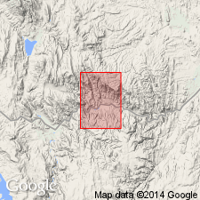
(advance copy). Unit is geographically extended into report area (Jonesboro 7.5-min quadrangle, Malheur County, Oregon). Age is middle Miocene.
Source: GNU records (USGS DDS-6; Menlo GNULEX).
- Usage in publication:
-
- Dinner Creek Welded Tuff*
- Modifications:
-
- Areal extent
- AAPG geologic province:
-
- Snake River basin
Summary:
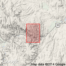
(advance copy). Unit is extended into report area (South Mountain 7.5-min quadrangle, Malheur Co., OR). Age is middle Miocene.
Source: GNU records (USGS DDS-6; Menlo GNULEX).
For more information, please contact Nancy Stamm, Geologic Names Committee Secretary.
Asterisk (*) indicates published by U.S. Geological Survey authors.
"No current usage" (†) implies that a name has been abandoned or has fallen into disuse. Former usage and, if known, replacement name given in parentheses ( ).
Slash (/) indicates name conflicts with nomenclatural guidelines (CSN, 1933; ACSN, 1961, 1970; NACSN, 1983, 2005, 2021). May be explained within brackets ([ ]).