- Usage in publication:
-
- Deadman quartzite
- Modifications:
-
- First used
- Dominant lithology:
-
- Quartzite
- AAPG geologic province:
-
- Basin-and-Range province
Summary:
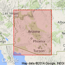
Deadman quartzite of Mazatzal Mountains (90 to 800 feet thick) underlies Maverick shale of Mazatzal Mountains and unconformably overlies Alder series shale and grit and/or Red Rock rhyolite of Yavapai group in generalized columnar section of central Arizona (composite of Mazatzal Mountains, Pine Creek, and Tonto basin areas).
Source: GNU records (USGS DDS-6; Menlo GNULEX).

- Usage in publication:
-
- Deadman quartzite
- Modifications:
-
- Named
- Dominant lithology:
-
- Quartzite
- Conglomerate
- Shale
- AAPG geologic province:
-
- Basin-and-Range province
Summary:
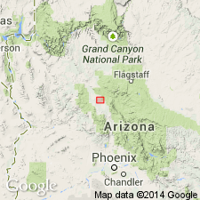
Named for typical occurrence on North Fork of Deadman Creek [34 deg 06'N, 111 deg 31'W, Table Mountain 7.5' quad, Yavapai Co, AZ]. [Rocks were included in Mazatzal quartzite of Wilson (1922)]. Occurs in northern Mazatzal Ranges north of Lat. 34 deg N. Consists of hard, fine- to medium-grained, thinly stratified, cross-bedded, cliff-forming quartzite, together with some thin conglomerate and hematitic shale members and an irregular basal conglomerate. Upper one-third weathers grayish brown to white in contrast to reddish-brown tint of lower part. Is 90 to 800 ft thick. At section on wall of Maverick Basin is 92 ft thick. Unconformably overlies eroded surface of Red Rock rhyolite. Conformably underlies Maverick shale (new). Intruded by granite. Assigned older Precambrian age.
Source: GNU records (USGS DDS-6; Menlo GNULEX).

- Usage in publication:
-
- Deadman Quartzite
- Modifications:
-
- Age modified
- Revised
- AAPG geologic province:
-
- Basin-and-Range province
Summary:
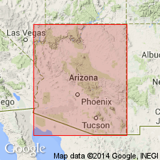
Deadman Quartzite is shown as lowermost (of 3) formations in Mazatzal Group in Mazatzal Mountains area. Is described as quartzite-conglomerate unit as defined by Wilson (1939). Overlies with angular unconformity the East Verde River sequence in northern Mazatzal Mountains. In central Mazatzal Mountains Deadman Quartzite rests (in thrust contact) on upper (white) member of Mazatzal Peak Quartzite (of Mazatzal Group) and underlies Maverick Shale (of Mazatzal Group). Age given as Early Proterozoic.
Source: GNU records (USGS DDS-6; Menlo GNULEX).
For more information, please contact Nancy Stamm, Geologic Names Committee Secretary.
Asterisk (*) indicates published by U.S. Geological Survey authors.
"No current usage" (†) implies that a name has been abandoned or has fallen into disuse. Former usage and, if known, replacement name given in parentheses ( ).
Slash (/) indicates name conflicts with nomenclatural guidelines (CSN, 1933; ACSN, 1961, 1970; NACSN, 1983, 2005, 2021). May be explained within brackets ([ ]).

