

- Usage in publication:
-
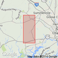
- Daniel Island beds*
- Modifications:
-
- First used
- Dominant lithology:
-
- Sand
- Clay
- AAPG geologic province:
-
- Atlantic Coast basin
Summary:
Informally named the Daniel Island beds in the Charleston, SC area. Consists of dark-bluish-gray to dark-gray, dense, silty to sandy clay interbedded with layers of fine- to medium-grained clayey sand and dark-brownish-gray peat. Thickness is 2 meters. Basal contact marked by layer of black phosphate pebbles. Unconformably overlies the Goose Creek Limestone and unconformably underlies the Penholoway Formation. The Daniel Island beds are of early Pleistocene age.
Source: GNU records (USGS DDS-6; Reston GNULEX).
For more information, please contact Nancy Stamm, Geologic Names Committee Secretary.
Asterisk (*) indicates published by U.S. Geological Survey authors.
"No current usage" (†) implies that a name has been abandoned or has fallen into disuse. Former usage and, if known, replacement name given in parentheses ( ).
Slash (/) indicates name conflicts with nomenclatural guidelines (CSN, 1933; ACSN, 1961, 1970; NACSN, 1983, 2005, 2021). May be explained within brackets ([ ]).