

- Usage in publication:
-
- Crater Mountain Dacite
- Modifications:
-
- First used
- Dominant lithology:
-
- Dacite
- AAPG geologic province:
-
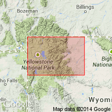
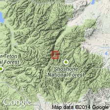
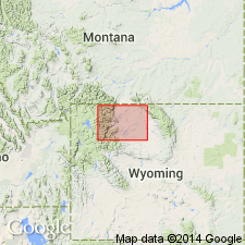
- Bighorn basin
Summary:
First published use of name; intent to name and designation of type not stated. Forms two separate plutons covering an area of 2 to 3 sq mi. The largest pluton makes up Crater Mountain [source of name]. Both plutons emplaced in Needle Mountain Granodiorite (first used). Consists of light- to medium-gray, porphyritic rock that is dacitic in composition. In the fine-grained border, the matrix is dark gray and andesitic, and the phenocrysts make up about 10 percent of the rock. Elsewhere the phenocrysts make up 40 to 45 percent and locally as much as 80 to 90 percent. Plagioclase makes up 50 to 60 percent of the phenocrysts, biotite 20 to 25 percent, hornblende 5 to 10 percent, quartz 10 percent. Calcite occurs as fine-grained masses which contain subhedral to euhedral epidote crystals. Matrix is mostly an aggregate of small subhedral crystals of plagioclase and anhedral crystals of K-feldspar and quartz. Magnetite, apatite, and zircon are common accessory minerals. Intersects "Early Basalt Flows" and Eocene Wiggins Formation. Tertiary age.
Source: GNU records (USGS DDS-6; Denver GNULEX).
- Usage in publication:
-
- Crater Mountain Dacite*
- Modifications:
-
- Overview
- AAPG geologic province:
-
- Bighorn basin
Summary:
First published geologic map of the Stinkingwater mining region, Park Co, WY in the Bighorn basin to show Crater Mountain Dacite. Described as occurring in two stocks [rather than plutons] on Needle and Crater Mountains that were emplaced within the Needle Mountain Granodiorite. Contact with the Needle Mountain is sharp. Crater Mountain has a well-defined, fine-grained border zone about 3 to 15 ft wide. Described as a porphyritic light- to medium-gray rhyodacite and dacite. Tertiary age.
Source: GNU records (USGS DDS-6; Denver GNULEX).
- Usage in publication:
-
- Crater Mountain Dacite*
- Modifications:
-
- Age modified
- AAPG geologic province:
-
- Bighorn basin
Summary:
Age modified from Tertiary to Eocene based on geologic inference that these rocks are related to volcanic rocks of Eocene age. Mapped in southwest part of area, near the South Fork of the Shoshone River, Park Co, WY in the Bighorn basin.
Source: GNU records (USGS DDS-6; Denver GNULEX).
For more information, please contact Nancy Stamm, Geologic Names Committee Secretary.
Asterisk (*) indicates published by U.S. Geological Survey authors.
"No current usage" (†) implies that a name has been abandoned or has fallen into disuse. Former usage and, if known, replacement name given in parentheses ( ).
Slash (/) indicates name conflicts with nomenclatural guidelines (CSN, 1933; ACSN, 1961, 1970; NACSN, 1983, 2005, 2021). May be explained within brackets ([ ]).