

- Usage in publication:
-
- Cove Mountain formation
- Modifications:
-
- First used
- Dominant lithology:
-
- Tuff
- Basalt
- Volcaniclastics
- AAPG geologic province:
-
- Great Basin province
Summary:
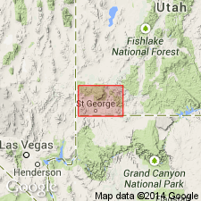
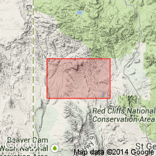
First published use of name attributed to an unpublished theses by Blank (1959). Is younger than the Maple Ridge porphyry (first used). Source of geographic name and location of type locality not stated. Is a widespread unit, older than Ox Valley tuff (first used). Mapped (geologic map) in Ts37 and 38N, Rs 17, 18, and 19W, Washington Co., UT in the Great Basin province. Mapped around Cove Mountain (T39S, R18W). Overlies Maple Ridge porphyry (first used). Is equivalent to Page Ranch formation of northern Pine Valley Mountains. Extends west into eastern NV. Divisible into four units. The upper and lower units are volcanic sediments and air-fall tuffs. One unit [second or third? from base] is a flow basalt. The "most important unit" is the Racer Canyon tuff (unranked; first published use) a succession of rhyolite ignimbrites about 1.500 ft thick. Racer Canyon is white, pink, gray, yellow, nonwelded to moderately welded, vitric-crystal tuff that weathers into spectacular hoodoos. Tertiary age. Stratigraphic chart.
Source: GNU records (USGS DDS-6; Denver GNULEX).
- Usage in publication:
-
- Cove Mountain Formation
- Modifications:
-
- Age modified
- AAPG geologic province:
-
- Great Basin province
Summary:
Age of the Cedar Spring Member of the Cove Mountain Formation is Miocene based on a radiometric (K-Ar) age of 21.1 Ma.
Source: GNU records (USGS DDS-6; Menlo GNULEX).
- Usage in publication:
-
- Cove Mountain Formation*
- Modifications:
-
- Overview
- AAPG geologic province:
-
- Great Basin province
Summary:
Mapped in southwest UT, Great Basin province. Divided into three informal units following Blank (1959, unpub. thesis) which are (ascending): Willow Spring unit, Cedar Spring unit, and Pilot Creek basalt. Informal units are separately mapped. Thicknesses of units are: Willow Spring, 200 m; Cedar Spring, several hundred meters; and Pilot Creek, 30 m. Overlies Rencher Formation; older than rhyolitic ash-flow tuff unit that underlies Ox Valley Tuff. Miocene age.
Source: GNU records (USGS DDS-6; Denver GNULEX).
For more information, please contact Nancy Stamm, Geologic Names Committee Secretary.
Asterisk (*) indicates published by U.S. Geological Survey authors.
"No current usage" (†) implies that a name has been abandoned or has fallen into disuse. Former usage and, if known, replacement name given in parentheses ( ).
Slash (/) indicates name conflicts with nomenclatural guidelines (CSN, 1933; ACSN, 1961, 1970; NACSN, 1983, 2005, 2021). May be explained within brackets ([ ]).