

- Usage in publication:
-
- Coombs limestone member*
- Modifications:
-
- Named
- Dominant lithology:
-
- Limestone
- AAPG geologic province:
-
- New England province
Summary:
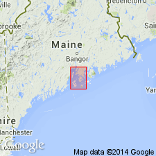
Coombs limestone member, at the top of the Islesboro formation in the Penobscot quad, southern ME, is chiefly shaly or quartzitic limestone, but in three localities is represented by fairly pure limestone. Thickness 7 to 100 ft. Underlies Battie quartzite. Unit is assigned a Cambrian(?) age.
Source: GNU records (USGS DDS-6; Reston GNULEX).
- Usage in publication:
-
- Coombs Limestone
- Modifications:
-
- Overview
- Dominant lithology:
-
- Marble
- AAPG geologic province:
-
- New England province
Summary:
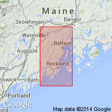
Simplified stratigraphic column for the Islesboro-Rockport belt in eastern ME shows (ascending) Precambrian rocks of Gilkey Harbor, Islesboro Formation, Coombs Limestone, Cambrian Rockport Quartzite and Megunticook(?) Formation. Coombs is described as thinly intercalated quartz-plagioclase-biotite-diopside granulite and calcite marble. Precambrian age and formational status of the Coombs agrees with the usage presented on the 1985 State map of ME.
Source: GNU records (USGS DDS-6; Reston GNULEX).
- Usage in publication:
-
- Coombs Limestone Member
- Modifications:
-
- Not used
- AAPG geologic province:
-
- New England province
Summary:
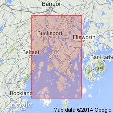
Previously, all carbonate rocks in Isleboro Formation were called Coombs Limestone Member by Smith and others (1907). Because carbonate sequences within Islesboro Formation have different stratigraphic positions, variable thickness and lithology along strike, and may resemble each other locally, continued use of the name Coombs Limestone Member is unwarranted. Some of the carbonate rocks are now assigned to Seven Hundred Acre Island Formation (new name).
Source: GNU records (USGS DDS-6; Reston GNULEX).
For more information, please contact Nancy Stamm, Geologic Names Committee Secretary.
Asterisk (*) indicates published by U.S. Geological Survey authors.
"No current usage" (†) implies that a name has been abandoned or has fallen into disuse. Former usage and, if known, replacement name given in parentheses ( ).
Slash (/) indicates name conflicts with nomenclatural guidelines (CSN, 1933; ACSN, 1961, 1970; NACSN, 1983, 2005, 2021). May be explained within brackets ([ ]).