

- Usage in publication:
-
- Condor Canyon Formation
- Modifications:
-
- Original reference
- Dominant lithology:
-
- Tuff
- AAPG geologic province:
-
- Great Basin province
Summary:
Pg. 8 (fig. 4), 23. Condor Canyon Formation. Consists, in different sections, of from one to five highly welded vitric to vitric-crystal ignimbrites. Two of the members, Swett Ignimbrite and Bauers Ignimbrite, make up entire formation in southwest Utah, where they were named by Mackin (1960) and given member status in his Quichapa Formation. Overlies Leach Canyon Tuff. Underlies Harmony Hills Tuff in most areas. In some areas separated from it by unit of andesite flow breccia or by units of basalt. Age is Oligocene.
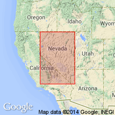
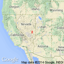
Type section: in Condor Canyon along Pioche Branch of Union Pacific RR, in secs. 22, 23, 24, 26, and 27, T. 1 S., R. 68 E., Lincoln Co., eastern NV.
Source: US geologic names lexicon (USGS Bull. 1350, p. 167).
- Usage in publication:
-
- Condor Canyon Formation
- Modifications:
-
- Revised
- AAPG geologic province:
-
- Great Basin province
Summary:
Condor Canyon Formation of Quichapa Group. Quichapa Group consists of four formations (ascending): Leach Canyon, Condor Canyon, Pahranagat Lakes (new), and Harmony Hills. Isotope age determinations indicate Quichapa Group was deposited during early to middle Miocene.
Source: US geologic names lexicon (USGS Bull. 1350, p. 167).
- Usage in publication:
-
- Condor Canyon Formation*
- Modifications:
-
- Revised
- AAPG geologic province:
-
- Great Basin province
Summary:
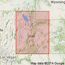
History of usage included. Author assigns the Swett (base) and Bauers (top) Tuff Members to the Miocene Condor Canyon Formation of the middle part of the Quichapa Group. Swett overlies Bear Valley Formation (not part of the Quichapa). Condor Canyon underlies Harmony Hills Tuff, upper formation of the Quichapa. Both members are single cooling units with low phenocryst content, sparse xenoliths, dense welding, and have gray to black basal vitrophyre, and a red to red-brown densely welded middle zone. Swett is a plagioclase-biotite vitric welded tuff no more than 16 m thick. Bauers is a plagioclase-sanidine vitric-crystal welded tuff that is thickest (35 m) in the southwestern Black Mountains. Members are present in the southwest Swett Hills, Bauers Knoll, Iron Co, UT and they can be traced into NV in the Great Basin province. The Swett extends over 10,000 sq km (Cedar City, UT to White River Narrows, NV) and Bauers originally covered more than 25,000 sq km (Markagunt Plateau to Seaman and Pahranagat Ranges). K-Ar ages obtained from Swett range from 21.3 to 24.7 m.y. and those from Bauers range from 21.3 to 22.1 +/-0.6 m.y. Correlation chart; block diagram.
Source: GNU records (USGS DDS-6; Denver GNULEX).
- Usage in publication:
-
- Condor Canyon Formation*
- Modifications:
-
- Areal extent
- AAPG geologic province:
-
- Great Basin province
Summary:
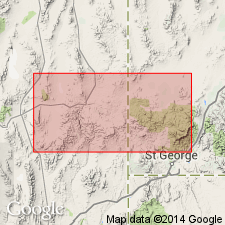
Is mapped as middle formation (of three) of Quichapa Group (age modified to Miocene and Oligocene). Is mapped east of Antelope Range fault zone in southern Antelope Range in southern and southeastern part of quadrangle, Iron Co, UT (Great Basin province). Overlies Leach Canyon Formation (age changed from Miocene to Oligocene). Overlain by Harmony Hills Tuff (Miocene). Defined by Cook (1965) to include two ash-flow tuff members, Bauers Tuff Member above and Swett Tuff Member below, both of which had previously been defined by Mackin (1960). The Swett Member, which lithologically resembles the Bauers Member but has a different mineralogy, appears to be thin and locally missing in the mapped area. The two members were not separately mapped, but petrographic study confirms presence of Swett Member in extreme southeast corner of sec 20 and SW1/4 sec 29, T36S, R15W. Average isotopic age of Bauers is 22.3 Ma based on two K-Ar ages (recalculated using IUGS decay constants) on biotite and sanidine by Armstrong (1970) and one K-Ar age (recalculated) on plagioclase by Fleck and others (1975). Isotopic age of Swett is about 23.7 Ma, based on six K-Ar ages (recalculated) on biotite and plagioclase by Armstrong (1970). Age of formation is Miocene. Maximum thickness of Bauers about 140 m; Swett as much as 10 m thick.
Source: GNU records (USGS DDS-6; Denver GNULEX).
- Usage in publication:
-
- Condor Canyon Formation*
- Modifications:
-
- Areal extent
- AAPG geologic province:
-
- Great Basin province
Summary:
Condor Canyon Formation geographically extended into Seaman Range and Fox Mountain, Lincoln and Nye Cos, NV. Age given as Miocene.
Source: GNU records (USGS DDS-6; Menlo GNULEX).
For more information, please contact Nancy Stamm, Geologic Names Committee Secretary.
Asterisk (*) indicates published by U.S. Geological Survey authors.
"No current usage" (†) implies that a name has been abandoned or has fallen into disuse. Former usage and, if known, replacement name given in parentheses ( ).
Slash (/) indicates name conflicts with nomenclatural guidelines (CSN, 1933; ACSN, 1961, 1970; NACSN, 1983, 2005, 2021). May be explained within brackets ([ ]).