- Usage in publication:
-
- Chico Shunie quartz monzonite*
- Modifications:
-
- Named
- Dominant lithology:
-
- Quartz monzonite
- Quartz diorite
- Granite
- AAPG geologic province:
-
- Southwestern Basin-and-Range region
Summary:
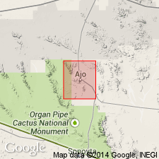
Named for exposures in the Chico Shunie Hills, Pima Co, AZ in the Southwestern Basin-and-Range region. Crops out over a 10 sq mi area. No type locality designated. Forms gently rolling topography. Disintegrates readily. Intrudes the Cardigan gneiss (new); contact is usually sharp. Is variable in composition. Most abundant rock type is pink-gray (fresh), brown (weathered), massive, coarsely porphyritic quartz monzonite though variations to potash granite, albite granite, and quartz diorite are common. Typically crystals of pink feldspar, 1+/-inch long occur in a coarse groundmass of quartz, biotite (altered to chlorite), white feldspar, a little epidote. Gray alaskitic rocks are widespread. Coarse pink pegmatitic gneisses with rounded pink feldspar crystals occur in the Chico Shunie. Was deformed prior to intrusion of the Cornelia quartz monzonite (new). Unconformably overlain by the Locomotive fanglomerate (new). Tentatively assigned to the Mesozoic. Geologic map.
Source: GNU records (USGS DDS-6; Denver GNULEX).

- Usage in publication:
-
- Chico Shunie Quartz Monzonite*
- Modifications:
-
- Age modified
- Overview
- AAPG geologic province:
-
- Southwestern Basin-and-Range region
Summary:
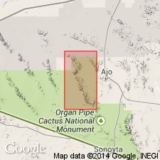
Forms gently rolling hills in eastern part of area around Tepee Butte and Chico Shunie Arroyo, Pima Co, AZ in the Southwestern Basin-and-Range region. Dominant rock type is quartz monzonite. Also includes albite granite, quartz diorite, and trondhjemite. Age modified from Mesozoic? to Proterozoic because an amphibole from a pegmatite dike that cuts Chico Shunie had a 1.4 b.y. K-Ar date.
Source: GNU records (USGS DDS-6; Denver GNULEX).
For more information, please contact Nancy Stamm, Geologic Names Committee Secretary.
Asterisk (*) indicates published by U.S. Geological Survey authors.
"No current usage" (†) implies that a name has been abandoned or has fallen into disuse. Former usage and, if known, replacement name given in parentheses ( ).
Slash (/) indicates name conflicts with nomenclatural guidelines (CSN, 1933; ACSN, 1961, 1970; NACSN, 1983, 2005, 2021). May be explained within brackets ([ ]).

