

- Usage in publication:
-
- Chamokane Creek Formation*
- Modifications:
-
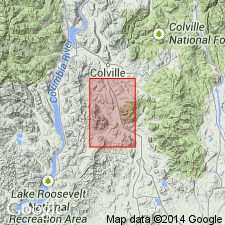
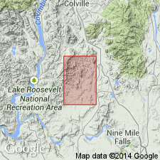
- Areal extent
- AAPG geologic province:
-
- Okanogan province
Summary:
Chamokane Creek Formation is geographically extended into the area of the report. Age is Middle Proterozoic.
Source: GNU records (USGS DDS-6; Menlo GNULEX).
- Usage in publication:
-
- Chamokane Creek Formation*
- Modifications:
-
- Named
- Dominant lithology:
-
- Quartzite
- AAPG geologic province:
-
- Okanogan province
Summary:
Unit is named the Chamokane Creek Formation. Consists of carbonate-bearing and non-carbonate-bearing quartzite, siltite, dolomite, and argillite. Thickness is about 600 m. Top of formation is a fault in type section, but conformable locally elsewhere. Overlies the Togo Formation; underlies the Wabash Detroit Formation (new). Age is Middle Proterozoic.
Source: GNU records (USGS DDS-6; Menlo GNULEX).
For more information, please contact Nancy Stamm, Geologic Names Committee Secretary.
Asterisk (*) indicates published by U.S. Geological Survey authors.
"No current usage" (†) implies that a name has been abandoned or has fallen into disuse. Former usage and, if known, replacement name given in parentheses ( ).
Slash (/) indicates name conflicts with nomenclatural guidelines (CSN, 1933; ACSN, 1961, 1970; NACSN, 1983, 2005, 2021). May be explained within brackets ([ ]).