

- Usage in publication:
-
- Chagrin Shale*
- Modifications:
-
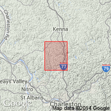
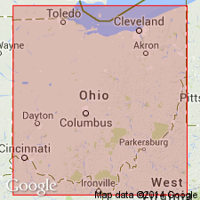
- Areal extent
- AAPG geologic province:
-
- Appalachian basin
Summary:
Chagrin Shale extended in subsurface from OH into WV.
Source: GNU records (USGS DDS-6; Reston GNULEX).
- Usage in publication:
-
- Chagrin Shale
- Modifications:
-
- Biostratigraphic dating
- AAPG geologic province:
-
- Appalachian basin
Summary:
Age of the Chagrin Shale is Late Devonian (late Famennian) based on conodont and brachiopod faunas. Best age data from conodont analysis of the Skinner's Run pyrite bed (Zagger and Banks, 1988). Area of study is Cuyahoga River Valley, northeastern OH. 19 taxa of brachiopods and 4 taxa of bivalves described.
Source: GNU records (USGS DDS-6; Reston GNULEX).

- Usage in publication:
-
- Chagrin Shale*
- Modifications:
-
- Overview
- AAPG geologic province:
-
- Appalachian basin
Summary:
According to authors, the Chagrin Shale (and its featheredge, the Three Lick Bed of the Ohio Shale) are the distal parts of a great eastward-thickening wedge of gray marine shale and turbiditic siltstone that lies between the basinal black shales of the gas shale sequence and the near-shore, coarser grained, neritic sandstones of the late Devonian Catskill delta complex. The great wedge extends from central NY southwestward into the Valley and Ridge province of northeastern TN. The Chagrin is typically exposed in northeastern OH, where it is more than 1400 ft thick in Ashtabula Co. In most of its outcrop area, it separates the underlying Huron Member of the Ohio Shale from the overlying Cleveland Member of the Ohio. The Chagrin thins to the southwest and in southern OH and eastern KY becomes the Three Lick Bed. The Three Lick Bed of KY does not correlate with the middle unit of the Gassaway Member in central TN as previously thought. It apparently pinches out just south of the KY-TN State line.
Source: GNU records (USGS DDS-6; Reston GNULEX).
For more information, please contact Nancy Stamm, Geologic Names Committee Secretary.
Asterisk (*) indicates published by U.S. Geological Survey authors.
"No current usage" (†) implies that a name has been abandoned or has fallen into disuse. Former usage and, if known, replacement name given in parentheses ( ).
Slash (/) indicates name conflicts with nomenclatural guidelines (CSN, 1933; ACSN, 1961, 1970; NACSN, 1983, 2005, 2021). May be explained within brackets ([ ]).