

- Usage in publication:
-
- Cave Creek gypsums
- Cave Creek formation
- Modifications:
-
- Original reference
- Dominant lithology:
-
- Gypsum
- Clay
- AAPG geologic province:
-
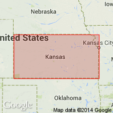
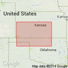
- Anadarko basin
Summary:
Pg. 3, 27. Cave Creek gypsums or Cave Creek formation [in Cimarron group]. Gypsum-bearing formation, 50 feet thick, consisting usually of either a single stratum of massive gypsum or two such strata separated by red clay shale. Includes (descending): Shimer gypsum, about 8 feet thick; Jenkins clay, 7 to 10 feet thick interval of red clay; and Medicine Lodge gypsum, 25 to 30 feet thick. Overlies Flowerpot [Flower-pot] shales and underlies Dog Creek shales. Is top formation of Salt Fork division. Age is Permian. [In 1897 (Amer. Geologist, v. 19, p. 351-363) Cragin made Dog Creek shales top formation of his Salt Fork division.]
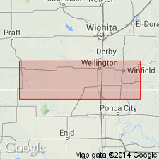
Named from exposures on Cave Creek, Comanche Co., KS.
Source: US geologic names lexicon (USGS Bull. 896, p. 378); GNC KS-NE Permian Corr. Chart, Oct. 1936; supplemental information from GNU records (USGS DDS-6; Denver GNULEX).
- Usage in publication:
-
- Cave Creek gypsum†
- Modifications:
-
- Abandoned
- AAPG geologic province:
-
- Anadarko basin
Summary:
Pg. 236 (Obsolete Oklahoma names). Cave Creek gypsum of Cragin (1896). In Oklahoma, a third gypsum member, the Ferguson, occurs, and the 3 gypsums (Shimer, Medicine Lodge, and Ferguson) with associated dolomites and clays are now known as the Blaine.
Source: US geologic names lexicon (USGS Bull. 896, p. 378).
- Usage in publication:
-
- "Cave Creek formation"
- Modifications:
-
- [Abandoned]
- AAPG geologic province:
-
- Anadarko basin
- Sedgwick basin
Summary:
Pg. 1751, 1793. Cragin's "Cave Creek formation" is identical with Blaine formation of Oklahoma. It is here divided into (ascending) Medicine Lodge, Nescatunga, Shimer, and Haskew gypsums. Cave Creek has priority, but the Blaine has wider accepted usage.
Source: US geologic names lexicon (USGS Bull. 1200, p. 681).
For more information, please contact Nancy Stamm, Geologic Names Committee Secretary.
Asterisk (*) indicates published by U.S. Geological Survey authors.
"No current usage" (†) implies that a name has been abandoned or has fallen into disuse. Former usage and, if known, replacement name given in parentheses ( ).
Slash (/) indicates name conflicts with nomenclatural guidelines (CSN, 1933; ACSN, 1961, 1970; NACSN, 1983, 2005, 2021). May be explained within brackets ([ ]).