- Usage in publication:
-
- Cape Limestone
- Modifications:
-
- Overview
- AAPG geologic province:
-
- Illinois basin
- Ozark uplift
Summary:
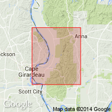
Cape Limestone interval was examined in several cores from northern part of Thebes 7.5-min quad. Medium- to dark-gray, fine-grained limestone as thick as 22 ft occurs at top of Kimmswick Limestone in some cores. Rock is largely skeletal packstone, but contains layers of wackestone and lime mudstone. Contact with Kimmswick crinoidal grainstone is either gradational or sharp, but not noticeably disconformable. Whether dark limestone in these cores is Cape or dark facies of Kimmswick is uncertain. Dark, fine-grained limestone that may be Cape was logged in other boreholes in the area. In Humble Oil Co. No. 1 Pickel well, NW1/4SE1/4NW1/4 sec. 21, T13S, R2W, Mill Creek 7.5-min quad, IL, Cape(?) is about 18 ft of brown, very fine-grained, fossiliferous limestone. In Mims No. 1 Potashnick well, NW1/4NW1/4SE1/4 sec. 26, T13S, R2W, McClure 7.5-min quad, IL, Cape(?) is 23 ft of light-brownish-gray, very fine-grained, shaly limestone. Two wells in Pulaski Co., IL, encountered limestone that may be Cape, 5 ft in one well and 12 ft in the other. Mappability of Cape is still unresolved. Probably should be reclassified as a member of Kimmswick instead of as a separate formation. [Figure 2 shows it as a member of Kimmswick.]
Source: GNU records (USGS DDS-6; Reston GNULEX).

- Usage in publication:
-
- Cape Limestone
- Modifications:
-
- Overview
- AAPG geologic province:
-
- Illinois basin
- Ozark uplift
Summary:
Ordovician (middle Cincinnatian, Maysvillian) Cape Limestone is classified as a formation even though in most places it is too thin to delineate on maps of scale 1:24,000 or smaller. Cape was combined with overlying Maquoketa Group on most source maps and on geologic map accompanying report. Thus, Cape apparently does not meet test of mappability North American Stratigraphic Code (1983, art. 24) mandates for a valid formation. The Cape should be reclassified as a member of either the Maquoketa above or of Kimmswick Limestone below. A formal reclassification is not proposed in this report, pending further study. Consists of medium- to dark-brownish-gray, medium- to coarse-grained limestone composed of shell and echinoderm fragments in sparry calcite cement (skeletal grainstone). Cape is more argillaceous than Kimmswick and its fossil fragments are smaller and more rounded. Thickness is 20 ft in part of Thebes 7.5-min quad, but elsewhere, Cape is less than 6 ft thick and discontinuous. Cape-Kimmswick contact is "welded" and disconformable.
Source: GNU records (USGS DDS-6; Reston GNULEX).

- Usage in publication:
-
- Cape Limestone*
- Modifications:
-
- Overview
- AAPG geologic province:
-
- Illinois basin
- Ozark uplift
Summary:
Ordovician Cape Limestone locally overlies Kimmswick Limestone. Cape is darker, finer grained, and more argillaceous.
Source: GNU records (USGS DDS-6; Reston GNULEX).

- Usage in publication:
-
- Cape Limestone*
- Modifications:
-
- Overview
- AAPG geologic province:
-
- Illinois basin
Summary:
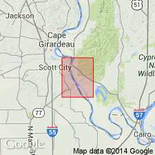
A finely crystalline limestone, tentatively identified as Cape Limestone, has been logged in drillholes above Kimmswick Limestone south of Thebes, IL. No outcrops of Cape identified in quad.
Source: GNU records (USGS DDS-6; Reston GNULEX).
For more information, please contact Nancy Stamm, Geologic Names Committee Secretary.
Asterisk (*) indicates published by U.S. Geological Survey authors.
"No current usage" (†) implies that a name has been abandoned or has fallen into disuse. Former usage and, if known, replacement name given in parentheses ( ).
Slash (/) indicates name conflicts with nomenclatural guidelines (CSN, 1933; ACSN, 1961, 1970; NACSN, 1983, 2005, 2021). May be explained within brackets ([ ]).

