

- Usage in publication:
-
- Call Mill slate
- Modifications:
-
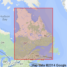
- Areal extent
- Dominant lithology:
-
- Slate
- AAPG geologic province:
-
- New England province
Summary:
Pg. 137, 138-140. Call Mill slate. Fine-grained, argillaceous, dark-purple or nearly black, usually fissile slate. Maximum thickness about 100 feet. Underlies Pinnacle graywacke; overlies Tibbit Hill schist. Age is Early Cambrian.
Source: US geologic names lexicon (USGS Bull. 1200, p. 584); supplemental information from GNU records (USGS DDS-6; Reston GNULEX).
- Usage in publication:
-
- Call Mill slate
- Modifications:
-
- Not used
- AAPG geologic province:
-
- New England province
Summary:
Pg. 1135-1136. Call Mill slate. If present in Vermont, beds are included in Pinnacle formation. [Age is Precambrian(?) or Early Cambrian.]
Source: US geologic names lexicon (USGS Bull. 1200, p. 584).
- Usage in publication:
-
- Call Mill slate
- Modifications:
-
- Age modified
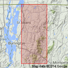
- Areal extent
- AAPG geologic province:
-
- New England province
Summary:
Pl. 1 (corr. chart). Call Mill slate. Geographically extended to northwestern Vermont. Age is Precambrian(?).
Source: US geologic names lexicon (USGS Bull. 1200, p. 584).
- Usage in publication:
-
- Call Mill Slate
- Modifications:
-
- Revised
- Age modified
- AAPG geologic province:
-
- New England province
Summary:
The Call Mill Slate and West Sutton Formations as mapped in Quebec are only locally definable in VT. Age is Late Proterozoic and Cambrian. Call Mill is shown assigned to Camels Hump Group.
Source: GNU records (USGS DDS-6; Reston GNULEX).
For more information, please contact Nancy Stamm, Geologic Names Committee Secretary.
Asterisk (*) indicates published by U.S. Geological Survey authors.
"No current usage" (†) implies that a name has been abandoned or has fallen into disuse. Former usage and, if known, replacement name given in parentheses ( ).
Slash (/) indicates name conflicts with nomenclatural guidelines (CSN, 1933; ACSN, 1961, 1970; NACSN, 1983, 2005, 2021). May be explained within brackets ([ ]).