- Usage in publication:
-
- Bunker andesite*
- Modifications:
-
- Original reference
- Dominant lithology:
-
- Andesite
- AAPG geologic province:
-
- Las Vegas-Raton basin
Summary:
Pg. 272; 1896, USGS 17th Ann. Rpt., pt. 2, p. 289. Bunker andesite. Holocrystalline, fine-grained, massive andesite, carrying hornblende, augite, and biotite. Age is Tertiary (Eocene).
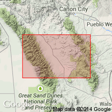
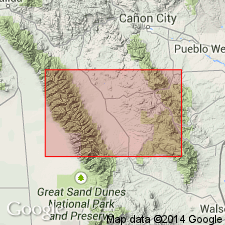
Forms greater part of Rosita Hills. Occurs in Bunker Hill, Sugar Loaf, etc., Silver Cliffs-Rosita region, central southern CO.
Source: US geologic names lexicon (USGS Bull. 896, p. 294).

- Usage in publication:
-
- Bunker Trachyandesite
- Modifications:
-
- Overview
- AAPG geologic province:
-
- Las Vegas-Raton basin
Summary:
Not known how much of Bunker is intrusive or extrusive. Massive nature, lack of flow structure, and coarse grain suggest intrusive origin. Basal contact at some eastern localities is flat suggesting Bunker was a lava flow or sill at those localities. Western contacts are intrusive. Bunker flows are unconformable on the Rosita Formation. Is mineralogically a trachyandesite. Has a syenodiorite-porphyry facies. Makes up stocks, flows, dikes, sills. Age not stated. Geologic map. Oligocene age.
Source: GNU records (USGS DDS-6; Denver GNULEX).

- Usage in publication:
-
- Bunker Trachyandesite*
- Modifications:
-
- Age modified
- AAPG geologic province:
-
- Las Vegas-Raton basin
Summary:
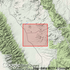
Is part of the late cycle (27 to 26 m.y. b.p., or Miocene) of volcanic rocks at the Rosita center, Custer Co., CO in the Las Vegas-Raton basin.
Source: GNU records (USGS DDS-6; Denver GNULEX).
For more information, please contact Nancy Stamm, Geologic Names Committee Secretary.
Asterisk (*) indicates published by U.S. Geological Survey authors.
"No current usage" (†) implies that a name has been abandoned or has fallen into disuse. Former usage and, if known, replacement name given in parentheses ( ).
Slash (/) indicates name conflicts with nomenclatural guidelines (CSN, 1933; ACSN, 1961, 1970; NACSN, 1983, 2005, 2021). May be explained within brackets ([ ]).

