

- Usage in publication:
-
- Candelaria formation*
- Modifications:
-
- Original reference
- Adopted by USGS
- Dominant lithology:
-
- Shale
- Sandstone
- AAPG geologic province:
-
- Great Basin province
Summary:
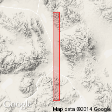
Pg. 241-252. Candelaria formation. Recognized in Tonopah and Hawthorne quadrangles, southwestern Nevada. Essentially shales, sandy shales, and sandstones, some of tuffaceous aspect, and occasional thin layers and lenticular bodies of limestone. Marine invertebrates in belt 75 feet thick and 150 to 225 feet above base. Fauna is Lower Triassic, but appears to be older than any of Lower Triassic marine faunas heretofore recorded from North America. Thickness 3,000+ feet. Overlain, probably unconformably, by Excelsior formation (Middle Triassic). Rests, with marked erosion unconformably, on Permian strata, and, where these have been eroded, on folded and bevelled Ordovician strata. No basal conglomerate is present near Candelaria, but a few miles to east, where Permian is missing, the basal part of formation consists of 500+/- feet of basal conglomerate derived from underlying Ordovician chert. Age is Early Triassic.
Type locality is about 2 mi southeast of Candelaria. Named for mining camp of Candelaria, in low hills south of Mina. This name was first used by J.A. Burgess in an unpublished report on Candelaria mining district.
Source: US geologic names lexicon (USGS Bull. 896, p. 331).
- Usage in publication:
-
- Candelaria formation*
- Modifications:
-
- Mapped
- AAPG geologic province:
-
- Great Basin province
Summary:
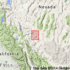
Candelaria formation. Described in Coaldale quadrangle [southwestern Nevada], where it consists largely of dark tuffaceous sandstone with thin conglomerate lenses and some shale; locally as much as 2 feet of basal conglomerate with fragments from Palmetto formation. Unconformable above Diablo formation (new); not in contact with Middle Triassic(?) Excelsior formation, and it is presumed that the two are present on different plates of major thrust. Thickness 3,225 feet at type locality. Age is Early Triassic.
Source: US geologic names lexicon (USGS Bull. 1200, p. 604).
- Usage in publication:
-
- Black Knob Chert Member
- Modifications:
-
- Named
- Dominant lithology:
-
- Chert
- AAPG geologic province:
-
- Ouachita folded belt
Summary:
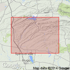
Named as a member in the lower part of the Tenmile Creek Formation of the Stanley Group in the Ouachita Mountains in Atoka Co, OK in the Ouachita tectonic belt province. Type locality is an outcrop on the east side of Black Knob Ridge, T1S, R12E, Atoka Co, OK. Consists of a bed of fossiliferous shale near base of the Tenmile Creek about 20 ft thick. Age is Late Mississippian.
Source: GNU records (USGS DDS-6; Denver GNULEX).
For more information, please contact Nancy Stamm, Geologic Names Committee Secretary.
Asterisk (*) indicates published by U.S. Geological Survey authors.
"No current usage" (†) implies that a name has been abandoned or has fallen into disuse. Former usage and, if known, replacement name given in parentheses ( ).
Slash (/) indicates name conflicts with nomenclatural guidelines (CSN, 1933; ACSN, 1961, 1970; NACSN, 1983, 2005, 2021). May be explained within brackets ([ ]).