

- Usage in publication:
-
- Beluga Formation
- Modifications:
-
- Named
- Dominant lithology:
-
- Claystone
- Sandstone
- AAPG geologic province:
-
- Alaska Southern region
Summary:
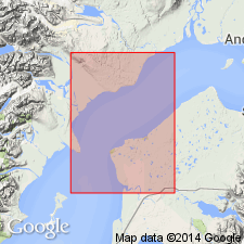
Beluga Formation of Kenai Group. Name proposed for 2nd from uppermost formation (of 5) of Kenai Group. Consists of thin intercalated beds of claystone, sandstone, siltstone and lignitic to subbituminous coal. Thickness 1,300 m. Unconformably overlies Tyonek Formation. Unconformably underlies Sterling Formation (new). Age is Tertiary.
Type section (subsurface): Standard Oil of California Beluga River No.1 well (212-35), in SW/4 NW/4 sec. 35, T. 13 N., R. 10 W., Seward Meridian, Cook Inlet, AK.
Source: Modified from GNU records (USGS DDS-6; Menlo GNULEX).
- Usage in publication:
-
- Beluga Formation*
- Modifications:
-
- Age modified
- AAPG geologic province:
-
- Alaska Southern region
Summary:
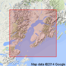
Age is late Miocene based on Homerian and Clamgulchian flora from Beluga Formation.
Source: GNU records (USGS DDS-6; Menlo GNULEX).
- Usage in publication:
-
- Beluga Formation*
- Modifications:
-
- Geochronologic dating
- AAPG geologic province:
-
- Alaska Southern region
Summary:
Homerian type section K-Ar age samples on plagioclase range from 11.3 +/-0.7 to 8.8 +/-0.9 Ma; zircon fission-track ages range from 8.8 +/-1.0 to 8.1 +/-1.0 Ma. Samples are from southwestern shore of Kachemak Bay from Beluga Formation.
Source: GNU records (USGS DDS-6; Menlo GNULEX).
- Usage in publication:
-
- Beluga Formation*
- Modifications:
-
- Age modified
- AAPG geologic province:
-
- Alaska Southern region
Summary:
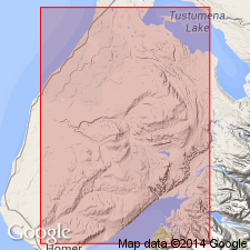
Age is late middle and late Miocene based on Homerian and lower Clamgulchian Stages of fossil flora within unit.
Source: GNU records (USGS DDS-6; Menlo GNULEX).
For more information, please contact Nancy Stamm, Geologic Names Committee Secretary.
Asterisk (*) indicates published by U.S. Geological Survey authors.
"No current usage" (†) implies that a name has been abandoned or has fallen into disuse. Former usage and, if known, replacement name given in parentheses ( ).
Slash (/) indicates name conflicts with nomenclatural guidelines (CSN, 1933; ACSN, 1961, 1970; NACSN, 1983, 2005, 2021). May be explained within brackets ([ ]).