

- Usage in publication:
-
- Beechatuda tongue*
- Modifications:
-
- Original reference
- Dominant lithology:
-
- Sandstone
- AAPG geologic province:
-
- San Juan basin
Summary:
Sheet 1. [Beechatuda tongue of Cliff House sandstone of Mesaverde group.] Described as tongue of Cliff House sandstone in Menefee formation. Southeastward rise of about 90 feet in stratigraphic position of base of Cliff House sandstone is involved. Contacts are sharp. Age is Late Cretaceous.
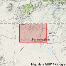
Exposed in Beechatuda Draw, in northwest part of secs. 5 and 6, T. 30 N., R. 15 W., San Juan Co., northwestern NM, and can be traced approx. 2.5 mi along outcrop.
Source: US geologic names lexicon (USGS Bull. 1200, p. 270).
For more information, please contact Nancy Stamm, Geologic Names Committee Secretary.
Asterisk (*) indicates published by U.S. Geological Survey authors.
"No current usage" (†) implies that a name has been abandoned or has fallen into disuse. Former usage and, if known, replacement name given in parentheses ( ).
Slash (/) indicates name conflicts with nomenclatural guidelines (CSN, 1933; ACSN, 1961, 1970; NACSN, 1983, 2005, 2021). May be explained within brackets ([ ]).