

- Usage in publication:
-
- Barker formation*
- Modifications:
-
- Original reference
- Dominant lithology:
-
- Shale
- Limestone
- Sandstone
- AAPG geologic province:
-
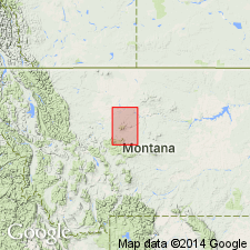
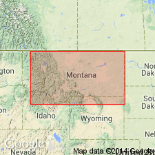
- Sweetgrass arch
Summary:
Barker formation. The oldest sedimentary rocks of quadrangle. Comprise all of Cambrian. Subdivisions can not be separately mapped on scale of map. Consists of (descending): (1) Yogo limestone, 100 feet; (2) Dry Creek shale (brick-red shale and limestones); (3) Pilgrim limestone (massively bedded), 140 feet; (4) Park shales and limestone conglomerates, several hundred feet; (5) Meagher limestones, 110 feet; (6) Wolsey shale (purple and green micaceous shale containing small limestone nodules bearing fossils), 125 feet; and (7) Flathead sandstone (coarse sandstone composed of small pebbles and coarse grains of quartz and feldspar and occasional pebbles of gneiss, grading into hard sandstones which often form a true quartzite). Rest on Archean gneiss and schist. Overlain by Monarch formation (Silurian? and Devonian). Age is considered Middle and Late Cambrian.
The rocks are well exposed near Barker, also in broad valley of Pilgrim Creek and in cliffs to north, Fort Benton region, [Cascade and Judith Basin Cos.], central northern MT.
[GNC remark (ca. 1938, US geologic names lexicon, USGS Bull. 896, p. 112): The subdivisions mentioned above are now treated as formations, and the inclusive unit "Barker" has been discarded.]
Source: US geologic names lexicon (USGS Bull. 896, p. 112).
- Usage in publication:
-
- Barker formation†
- Modifications:
-
- Incidental mention
- AAPG geologic province:
-
- Sweetgrass arch
Summary:
Pg. 3. †Barker formation. Mentioned in discussion of history of work on Cambrian system in and near western Montana.
Source: US geologic names lexicon (USGS Bull. 1200, p. 214).
For more information, please contact Nancy Stamm, Geologic Names Committee Secretary.
Asterisk (*) indicates published by U.S. Geological Survey authors.
"No current usage" (†) implies that a name has been abandoned or has fallen into disuse. Former usage and, if known, replacement name given in parentheses ( ).
Slash (/) indicates name conflicts with nomenclatural guidelines (CSN, 1933; ACSN, 1961, 1970; NACSN, 1983, 2005, 2021). May be explained within brackets ([ ]).