

- Usage in publication:
-
- Barker quartzite*
- Modifications:
-
- Original reference
- Dominant lithology:
-
- Quartzite
- Conglomerate
- AAPG geologic province:
-
- New England province
Summary:
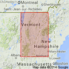
Pg. 360, 401. Barker quartzite. One of key rocks of Taconic sequence, being readily identifiable and making sharp hills and ridges. Is generally of light or white color on weathered surfaces, but usually is more or less green when freshly broken. Varies from dense rock with very fine grains of quartz to coarse quartzite and locally a fine conglomerate. The coarser facies contain pebbles of various slates, quartzites, and a little limestone, probably derived from older Cambrian formations. Thickness varies from 100+/- feet at Barker Hill (4 miles east of north from Castleton) and nearby Wallace Ledge, Rutland County, southwestern Vermont, down to thinness that is barely recognizable. Underlies Bull slate and overlies Hubbardton slate. Age is Early Cambrian.
Source: US geologic names lexicon (USGS Bull. 896, p. 112-113).
For more information, please contact Nancy Stamm, Geologic Names Committee Secretary.
Asterisk (*) indicates published by U.S. Geological Survey authors.
"No current usage" (†) implies that a name has been abandoned or has fallen into disuse. Former usage and, if known, replacement name given in parentheses ( ).
Slash (/) indicates name conflicts with nomenclatural guidelines (CSN, 1933; ACSN, 1961, 1970; NACSN, 1983, 2005, 2021). May be explained within brackets ([ ]).