

- Usage in publication:
-
- Balluco Gravel*
- Modifications:
-
- Original reference
- Dominant lithology:
-
- Gravel
- AAPG geologic province:
-
- Permian basin
Summary:
Pg. 99-100, pl. 1. Balluco Gravel. Gravels on surfaces of erosion in Sierra Blanca area are named (ascending): Miser, Madden, Gills, Ramey, Balluco. The Balluco consists of limestone, sandstone, quartzite, conglomerate, and extrusive and intrusive igneous rocks. Thickness 6 inches to 20 feet. Age is Quaternary.
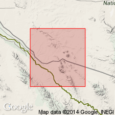
Type locality: along Arroyo Balluco south of U.S. Highway 80, Hudspeth Co., southwestern TX.
Source: US geologic names lexicon (USGS Bull. 1350, p. 44).
For more information, please contact Nancy Stamm, Geologic Names Committee Secretary.
Asterisk (*) indicates published by U.S. Geological Survey authors.
"No current usage" (†) implies that a name has been abandoned or has fallen into disuse. Former usage and, if known, replacement name given in parentheses ( ).
Slash (/) indicates name conflicts with nomenclatural guidelines (CSN, 1933; ACSN, 1961, 1970; NACSN, 1983, 2005, 2021). May be explained within brackets ([ ]).