

- Usage in publication:
-
- Auger conglomerate lentil*
- Modifications:
-
- Original reference
- Dominant lithology:
-
- Clay
- Sandstone
- Conglomerate
- Limestone
- AAPG geologic province:
-
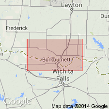
- Palo Duro basin
Summary:
Pg. 23-26. Auger conglomerate lentil of Wichita formation. Clay-limestone conglomerate and associated beds, consisting of clay, sandstone, and conglomerate, forming basal member of Wichita formation. Thickness 20 to 78 feet. Age is Permian.
[Named from Old Fort Auger and Auger Creek, Tillman Co., southwestern OK.]
Source: US geologic names lexicon (USGS Bull. 896, p. 91).
- Usage in publication:
-
- Auger conglomerate lentil*
- Modifications:
-
- Areal extent
- AAPG geologic province:
-
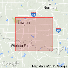
- Palo Duro basin
- South Oklahoma folded belt
Summary:
Pg. 1, 2, 3-4. Auger conglomerate lentil of Wichita formation. Discussion of radioactive material in sandstone lenses of southwestern Oklahoma. These sandstones are associated with a cross-bedded bituminous gray sandstone shown on Geologic Map of Oklahoma (Miser, 1954). Age of sandstone is given by Miser as probably equal to that of base of Garber sandstone of northern Oklahoma. The cross-bedded bituminous sandstone was mapped in Cotton County and parts of Tillman County as upper part of Auger conglomerate in upper part of Wichita formation by Munn (1914). Auger conglomerate extends from Cotton County into Jefferson County where it was mapped by Bunn (1930, Oklahoma Geol. Survey Bull. 40PP) as Ryan-Asphaltum sandstone. Age is Permian.
Source: US geologic names lexicon (USGS Bull. 1200, p. 171).
For more information, please contact Nancy Stamm, Geologic Names Committee Secretary.
Asterisk (*) indicates published by U.S. Geological Survey authors.
"No current usage" (†) implies that a name has been abandoned or has fallen into disuse. Former usage and, if known, replacement name given in parentheses ( ).
Slash (/) indicates name conflicts with nomenclatural guidelines (CSN, 1933; ACSN, 1961, 1970; NACSN, 1983, 2005, 2021). May be explained within brackets ([ ]).