

- Usage in publication:
-
- Antler Peak limestone*
- Modifications:
-
- Original reference
- Biostratigraphic dating
- Dominant lithology:
-
- Limestone
- AAPG geologic province:
-
- Great Basin province
Summary:
Antler Peak limestone. Name given to limestone beds whose principal exposures underlie Antler Peak and crop out in a belt trending diagonally across the range. Limestones are medium- to thick-bedded for most part and form prominent outcrops, locally high cliffs. Lower part is shaly limestone; middle part is thick-bedded, cliff-forming cherty limestone, locally containing sandy and pebbly beds; upper part is thin- to medium-bedded shaly limestone. Thickness at type section 625 feet; east of Copper Basin probably more than 800 feet. Unconformably underlies Edna Mountain formation (new); conformably overlies Battle formation (new). Possible age(?)-equivalent of Pumpernickel formation. Fossils. Fauna contains some upper Pennsylvanian elements, but according to J.S. Williams (n.d.), the Antler Peak may be as young as Wolfcamp (Permian?). [On map legend is listed as Pennsylvanian.]
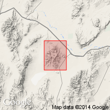
Type section: Antler Peak, [in T. 31 and 32 N., R. 43 E., Battle Mountain, Antler Peak 15-min quadrangle, Lander Co., northern NV].
Source: Publication; US geologic names lexicon (USGS Bull. 1200, p. 112); GNU records (USGS DDS-6; Menlo GNULEX).
- Usage in publication:
-
- Antler Peak limestone*
- Modifications:
-
- Age modified
- Biostratigraphic dating
- AAPG geologic province:
-
- Great Basin province
Summary:
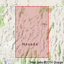
Pg. 2824 (fig. 5), 2843, 2853 (fig. 11). Antler Peak limestone. Found as remnants of a formerly extensive formation, scattered from the southern Shoshone Range [Nye County] to a point near Quinn River Crossing [Humboldt County], Nevada. At type locality unit is 625 feet thick; northeast of the Osgood Mountains nearly 1,000 feet is exposed. Contains a diverse fauna, including fusulinids, which range in age from Late Pennsylvanian to Early Permian (L.G. Henbest, USGS, written commun., n.d.).
Source: Publication; US geologic names lexicon (USGS Bull. 1200, p. 112); GNU records (USGS DDS-6; Menlo GNULEX).
- Usage in publication:
-
- Antler Peak Limestone*
- Modifications:
-
- Mapped
- Biostratigraphic dating
- Dominant lithology:
-
- Limestone
- AAPG geologic province:
-
- Great Basin province
Summary:
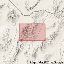
Pg. 9 (table 1), 45-47, pl. 1 (geol. map), pl. 3 (corr. chart), pl. 4 (fossil locs.). Antler Peak Limestone. Present in the Mount Lewis 15-min quadrangle, Lander County, Nevada, in the upper plate of the Whisky Canyon thrust (Antler Peak facies); exposures are highly deformed, small discontinuous masses, so no attempt was made to identify members distinguished by Roberts. Consists almost wholly of light-gray limestone, locally containing beds of chert nodules. Most of unit is thick-bedded, averaging 3 to 4 feet. Has few shale and limy yellow sandstone beds. Thickness about 700 feet. Appears to lie conformably on Battle Conglomerate. Age is considered Late Pennsylvanian and Early Permian, based on fossils (corals, brachiopods). [Report includes geologic map, faunal list, correlation chart.]
Source: Publication.
For more information, please contact Nancy Stamm, Geologic Names Committee Secretary.
Asterisk (*) indicates published by U.S. Geological Survey authors.
"No current usage" (†) implies that a name has been abandoned or has fallen into disuse. Former usage and, if known, replacement name given in parentheses ( ).
Slash (/) indicates name conflicts with nomenclatural guidelines (CSN, 1933; ACSN, 1961, 1970; NACSN, 1983, 2005, 2021). May be explained within brackets ([ ]).