

- Usage in publication:
-
- Amchitka formation*
- Modifications:
-
- Named
- Dominant lithology:
-
- Breccia
- Tuff
- AAPG geologic province:
-
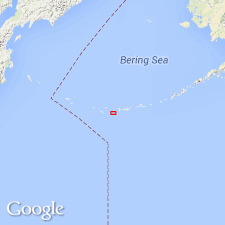
- Aleutian Islands province
- Alaska Southwestern region
Summary:
Makes up northern part of western third and most of eastern fourth of island and small isolated exposures at and west of Cyril Cove. Consists of water-laid beds of volcanic breccia, thin-bedded fine-grained tuff and pillow lavas, andesitic to latitic in composition. Rock is mottled dull yellowish-brown and olive-green to blue-green with streaks of white. Is perhaps several thousand feet thick. Geologic age is unknown but is as old as early Tertiary; overlying Banjo Point formation (new) is early middle Tertiary age.
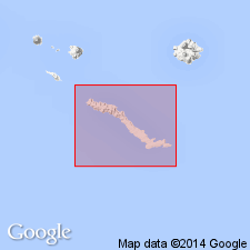
Type section: exposures along south coast from South Bight westward to Long. 179 deg. 18 min. E., Amchitka Island, Aleutian Islands, southwestern AK.
Source: Modified from GNU records (USGS DDS-6; Menlo GNULEX).
- Usage in publication:
-
- Amchitka Formation*
- Modifications:
-
- Areal extent
- Age modified
- AAPG geologic province:
-
- Aleutian Islands province
- Alaska Southwestern region
Summary:
Amchitka Formation of Powers and others (1960) is geographically restricted to eastern part of Amchitka Island. Rocks in northwestern part are assigned to Chitka Point Formation; these rocks are petrographically like and stratigraphically continuous with Chitka Point Formation. Amchitka Formation is informally divided into: (1) older breccia and (2) pillow lavas and breccias of Kirilof Point which are separately shown on geologic sketch map. Assigned early Tertiary age on basis of stratigraphic relations.
Source: GNU records (USGS DDS-6; Menlo GNULEX).
For more information, please contact Nancy Stamm, Geologic Names Committee Secretary.
Asterisk (*) indicates published by U.S. Geological Survey authors.
"No current usage" (†) implies that a name has been abandoned or has fallen into disuse. Former usage and, if known, replacement name given in parentheses ( ).
Slash (/) indicates name conflicts with nomenclatural guidelines (CSN, 1933; ACSN, 1961, 1970; NACSN, 1983, 2005, 2021). May be explained within brackets ([ ]).