- Usage in publication:
-
- Admiral formation
- Modifications:
-
- Original reference
- Dominant lithology:
-
- Limestone
- Shale
- AAPG geologic province:
-
- Bend arch
Summary:
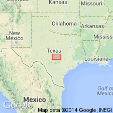
Pg. 192-195 and charts. Admiral formation. Basal formation of Wichita group. Includes all strata between top of Coleman Junction limestone member of underlying Putnam formation (of Cisco group) and top of Elm Creek limestone. Thickness 270 to 350 feet. In Colorado River Valley, includes (descending): Elm Creek limestone member, 20 to 50 feet; "Coleman clay" (Drake, 1893), 148 feet; Coleman limestone, 12 feet; "Bed No. 5" of Drake, 3 feet; Indian Creek shale member, 105 feet; Hordes Creek limestone lentil, 2 feet; Lost Creek shale member, 46 feet. Age is Permian.
Named from village of Admiral, 10 mi east of town of Baird, Callahan Co., central TX. Forms continuous high escarpment through Shackelford, Callahan, and Coleman Cos., central TX.
See also Wilmarth, M.G., compiler, 1930, Tentative correlation of the named geologic units of Texas, USGS unpub. corr. chart, Sept., 1930, sheet 3 of 3.
Source: Publication; US geologic names lexicon (USGS Bull. 896, p. 15, Coleman entry p. 487).
- Usage in publication:
-
- Admiral group*
- Modifications:
-
- Revised
- AAPG geologic province:
-
- Bend arch
Summary:
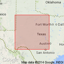
Pg. 66 (fig. 1), 93, 94-96. Admiral group. Rank raised to group. Restricted; redefined to include beds above Coleman Junction and below Jim Ned shale members (new) of Belle Plains formation. Comprises Fisk formation (new), above, and redefined Hords Creek formation. [Age is Early Permian (Wolfcamp).]
Source: US geologic names lexicon (USGS Bull. 1200, p. 20-21).
- Usage in publication:
-
- Admiral formation
- Modifications:
-
- Revised
- AAPG geologic province:
-
- Bend arch
Summary:
Pg. 1 (footnote by R.C. Moore). Mentioned as formation including two new members: Overall limestone and underlying Wildcat Creek shale. [Age is Early Permian (Wolfcamp).]
Source: US geologic names lexicon, USGS Bull. 1200, p. 20-21).
- Usage in publication:
-
- Admiral formation*
- Modifications:
-
- Mapped
- AAPG geologic province:
-
- Bend arch
Summary:
Sheet 2. Admiral formation. Shown on composite columnar section as comprising (ascending) Lost Creek shale, Hords Creek limestone, Wildcat Creek shale, and Overall limestone members. Underlies Belle Plains formation; overlies Putnam formation. Age is Early Permian (Wolfcamp).
Source: Publication; US geologic names lexicon (USGS Bull. 1200, p. 20-21).
- Usage in publication:
-
- Admiral Formation
- Modifications:
-
- Revised
- Mapped
- AAPG geologic province:
-
- Bend arch
Summary:
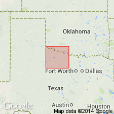
Admiral Formation of Albany Group. Mudstone, shale, sandstone, and limestone. Thickness 200 to 240 feet. Includes the following [unranked units], descending: Overall Limestone, 5 to 15 feet; Hords Creek Limestone, 1 to 2 feet; and at base, Coleman Junction Limestone, 2 to 4 feet. [In southernmost part of quadrangle, west of Woodson, the Hords Creek Limestone defines the base of the Admiral, and the Coleman Junction Limestone is included at base of underlying Coleman Junction Formation of Albany Group.] Underlies Elm Creek Formation of Albany Group and overlies Santa Anna Branch Shale of Cisco Group. Equivalent to most of Nocona Formation and basal part of Petrolia Formation, both of Wichita Group. Fossils. Age is Early Permian (late Wolfcamp to early Leonard).
Stratigraphic cutoff in southwestern Archer Co. [In general, recognized in Throckmorton Co.]
Source: Publication.
For more information, please contact Nancy Stamm, Geologic Names Committee Secretary.
Asterisk (*) indicates published by U.S. Geological Survey authors.
"No current usage" (†) implies that a name has been abandoned or has fallen into disuse. Former usage and, if known, replacement name given in parentheses ( ).
Slash (/) indicates name conflicts with nomenclatural guidelines (CSN, 1933; ACSN, 1961, 1970; NACSN, 1983, 2005, 2021). May be explained within brackets ([ ]).

