The National Geologic Map Database is migrating to a new infrastructure. We apologize for any service disruptions during this process.
|
|---|


- Usage in publication:
-
- Careaga sandstone*
- Modifications:
-
- Adopted
- Revised
- Biostratigraphic dating
- AAPG geologic province:
-
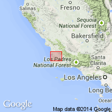
- Santa Maria basin
Summary:
Careaga formation of Wissler and Dreyer (1941) is adopted as Careaga sandstone. Type region [area] designated as on north flank of Purisima Hills south of Careaga station of now abandoned Pacific Coast Railroad, Santa Maria district, Santa Barbara Co, CA. Subdivided into lower fine-grained sandstone unit, Cebada fine-grained member and upper coarse-grained sand and conglomerate unit, Graciosa coarse-grained member. Thickness ranges from 50 to 1425 ft. Gradationally overlies Foxen mudstone; in some areas discordantly overlies Sisquoc formation or Monterey formation. Conformably underlies Paso Robles formation. Age is late Pliocene based on abundant megafauna, some of which are listed in report.
Source: GNU records (USGS DDS-6; Menlo GNULEX).
- Usage in publication:
-
- Careaga sand*
- Modifications:
-
- Redescribed
- AAPG geologic province:
-
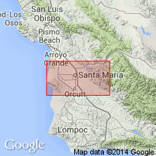
- Santa Maria Basin
Summary:
Careaga sandstone of Woodring and others (1943) is redescribed as Careaga sand because unit is logged as sand in most water wells; induration is apparently a surface feature. Maximum thickness along axis of Santa Maria Valley syncline is about 650 ft.
Source: GNU records (USGS DDS-6; Menlo GNULEX).
- Usage in publication:
-
- Careaga Sandstone*
- Modifications:
-
- Areal extent
- AAPG geologic province:
-
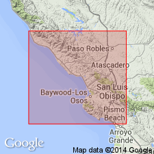
- California Coast Ranges province
Summary:
Recognized in area of report (San Luis Obispo-San Simeon region). Described as loosely consolidated to well-cemented poorly bedded, medium- to coarse-grained, grayish-white to dark-gray sandstone and conglomerate. Fossils are present. Exposed thickness is 4 m. Age given as Pliocene.
Source: GNU records (USGS DDS-6; Menlo GNULEX).
For more information, please contact Nancy Stamm, Geologic Names Committee Secretary.
Asterisk (*) indicates published by U.S. Geological Survey authors.
"No current usage" (†) implies that a name has been abandoned or has fallen into disuse. Former usage and, if known, replacement name given in parentheses ( ).
Slash (/) indicates name conflicts with nomenclatural guidelines (CSN, 1933; ACSN, 1961, 1970; NACSN, 1983, 2005, 2021). May be explained within brackets ([ ]).