The National Geologic Map Database is migrating to a new infrastructure. We apologize for any service disruptions during this process.
|
|---|


- Usage in publication:
-
- Zimmer Ridge Member*
- Modifications:
-
- Named
- Dominant lithology:
-
- Graywacke
- AAPG geologic province:
-
- Midcontinent region
Summary:
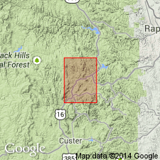
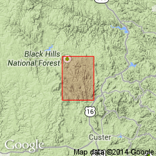
Named as a member of Oreville Formation in Pennington Co, SD in the Midcontinent region, for a belt of outcrops nearly a mi wide along Zimmer Ridge, the type locality. Is a metagraywacke originally 0-1,000 ft thick, but greatly overthickened by folding, or is stretched out to form detached masses. Pinches out along east flank of Union Hill anticline, probably due to facies change and partly a result of deformation. Is of Precambrian age.
Source: GNU records (USGS DDS-6; Denver GNULEX).
- Usage in publication:
-
- Zimmer Ridge Member*
- Modifications:
-
- Age modified
- AAPG geologic province:
-
- Midcontinent region
Summary:
Age is Early Proterozoic in the Midcontinent region.
Source: GNU records (USGS DDS-6; Denver GNULEX).
For more information, please contact Nancy Stamm, Geologic Names Committee Secretary.
Asterisk (*) indicates published by U.S. Geological Survey authors.
"No current usage" (†) implies that a name has been abandoned or has fallen into disuse. Former usage and, if known, replacement name given in parentheses ( ).
Slash (/) indicates name conflicts with nomenclatural guidelines (CSN, 1933; ACSN, 1961, 1970; NACSN, 1983, 2005, 2021). May be explained within brackets ([ ]).