

- Usage in publication:
-
- Zeto Point basalt porphyry*
- Modifications:
-
- Named
- Dominant lithology:
-
- Volcanics
- AAPG geologic province:
-
- Aleutian Islands province
- Alaska Southwestern region
Summary:
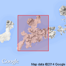
[Named for Zeto Point, Adak Island, Aleutian Islands, east-central part of Adak 1:250,000 quad, AK.] [no type designated] Occurs on and near shoreline of Kuluk Bay from Zeto Point northward. Consists of five domical masses of basalt porphyry; largest mass is about 230 feet thick. All rocks have abundant calcic plagioclase phenocrysts, as much as 1 cm long, in medium- to light-gray groundmass. Unit is younger than Finger Bay volcanics (new) which it intrudes, older than Andrew Bay volcanics (new). Age is considered Tertiary based on regional geographic and geomorphic evidence.
Source: GNU records (USGS DDS-6; Menlo GNULEX).
For more information, please contact Nancy Stamm, Geologic Names Committee Secretary.
Asterisk (*) indicates published by U.S. Geological Survey authors.
"No current usage" (†) implies that a name has been abandoned or has fallen into disuse. Former usage and, if known, replacement name given in parentheses ( ).
Slash (/) indicates name conflicts with nomenclatural guidelines (CSN, 1933; ACSN, 1961, 1970; NACSN, 1983, 2005, 2021). May be explained within brackets ([ ]).