The National Geologic Map Database is migrating to a new infrastructure. We apologize for any service disruptions during this process.
|
|---|


- Usage in publication:
-
- Zenoria lentil
- Modifications:
-
- Original reference
- AAPG geologic province:
-
- Arkla basin
Summary:
Pg. 101 (fig. 9), 104-105. Zenoria lentil of Verda member of Yazoo clay. Consists of series of fossiliferous blue-gray clays and sands; clays are fine, very plastic, contain considerable glauconite and lack lignitic particles of the typical Verda. Occurs in upper part of member at about the same stratigraphic position as the Mossy Ridge lentil (new). Thickness in wells about 50 feet. [Age is late Eocene (Jackson).]
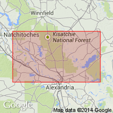
Named from exposures in creek bank 1 mi northeast of Zenoria, La Salle Parish, central LA.
[Zenoria in SE/4 sec. 23, T. 9 N., R. 1 E., Lat. 31 deg. 44 min. 47 sec. N., Long. 92 deg. 20 min. 12 sec. W., Little Creek 7.5-min quadrangle, La Salle Parish, central LA (USGS GNIS database, accessed June 17, 2012).]
Source: US geologic names lexicon (USGS Bull. 1200, p. 4337).
For more information, please contact Nancy Stamm, Geologic Names Committee Secretary.
Asterisk (*) indicates published by U.S. Geological Survey authors.
"No current usage" (†) implies that a name has been abandoned or has fallen into disuse. Former usage and, if known, replacement name given in parentheses ( ).
Slash (/) indicates name conflicts with nomenclatural guidelines (CSN, 1933; ACSN, 1961, 1970; NACSN, 1983, 2005, 2021). May be explained within brackets ([ ]).