- Usage in publication:
-
- Yuma sandstone member
- Modifications:
-
- Original reference
- Dominant lithology:
-
- Sandstone
- AAPG geologic province:
-
- Gulf Coast basin
Summary:
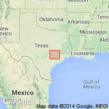
Table opp. p. 17, and p. 36-39. Yuma sandstone member of Manning formation. Massive and flaggy sandstone, locally containing fossiliferous marine beds; 3 to 25 feet thick. Lies 25 to 40 feet above Dilsworth sandstone member of Manning (expanded) and 0 to 25 feet below top of Manning formation. [Above definition is from table. On p. 36 is statement:] along Missouri Pacific RR track about 300 feet north of station at Yuma and about 6,000 feet west and 3,300 feet south of northeast corner of Walter Sutherland survey, there are strata consisting mostly of flags of medium-hard sandstone interbedded with soft sand and sandy shale, and in basal part of this section there is an earthy sandstone. The entire section at Yuma is about 25 feet thick and name Yuma sandstone is here applied to this member, though it is recognized that it is possible that these strata may be equivalent of Dilworth sandstone of Gonzales County. [At bottom of p. 37 is statement that Yuma sandstone is 25 to 40 feet above Dilworth sandstone, and a long list of places where the Yuma is exposed in southeastern Texas. Age is late Eocene.]
Source: US geologic names lexicon (USGS Bull. 896, p. 2393).

- Usage in publication:
-
- Yuma sandstone member
- Modifications:
-
- Overview
- AAPG geologic province:
-
- Gulf Coast basin
Summary:
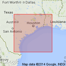
Pg. 2630. Tentatively considered equivalent to Stones Switch sandstone member of Whitsett formation. [†Stones Switch later abandoned and replaced with Deweesville Sandstone Member (Eargle, 1972).]
Source: US geologic names lexicon (USGS Bull. 1200, p. 4334-4335)
For more information, please contact Nancy Stamm, Geologic Names Committee Secretary.
Asterisk (*) indicates published by U.S. Geological Survey authors.
"No current usage" (†) implies that a name has been abandoned or has fallen into disuse. Former usage and, if known, replacement name given in parentheses ( ).
Slash (/) indicates name conflicts with nomenclatural guidelines (CSN, 1933; ACSN, 1961, 1970; NACSN, 1983, 2005, 2021). May be explained within brackets ([ ]).

