The National Geologic Map Database is migrating to a new infrastructure. We apologize for any service disruptions during this process.
|
|---|


- Usage in publication:
-
- Yorba member*
- Modifications:
-
- Original reference
- Dominant lithology:
-
- Siltstone
- AAPG geologic province:
-
- Los Angeles basin
Summary:
Yorba member of Puente formation. Thin-bedded gray siltstone with lesser amounts of thin-bedded fine-grained sandstone. Maximum exposed thickness about 2,500 feet. Underlies Sycamore Canyon member, contact gradational; overlies Soquel member (new), contact gradational. Age is late Miocene.
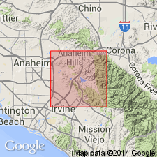
Named from Yorba Bridge across Santa Ana River, 2.5 mi east of Atwood, Orange Co., southern CA. Exposed in Puente Hills north of Yorba Bridge and in northwestern Santa Ana Mountains to south of bridge.
Source: Publication; US geologic names lexicon (USGS Bull. 1200, p. 4329).
For more information, please contact Nancy Stamm, Geologic Names Committee Secretary.
Asterisk (*) indicates published by U.S. Geological Survey authors.
"No current usage" (†) implies that a name has been abandoned or has fallen into disuse. Former usage and, if known, replacement name given in parentheses ( ).
Slash (/) indicates name conflicts with nomenclatural guidelines (CSN, 1933; ACSN, 1961, 1970; NACSN, 1983, 2005, 2021). May be explained within brackets ([ ]).