- Usage in publication:
-
- Yearian Volcanics
- Modifications:
-
- Named
- Dominant lithology:
-
- Pyroclastics
- Andesite
- Basalt
- AAPG geologic province:
-
- Idaho Mountains province
Summary:
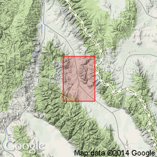
Named as middle unit of Challis Volcanic Group (rank raised) after Yearian Creek, Lemhi quad, Lemhi Co, ID in the Idaho Mountains province. Are widely exposed in quad. No type locality designated. Are in fault contact with Cheney Volcanics (new), lower formation of Challis Volcanic Group, and with Precambrian rocks. Are younger than Kadletz Volcanics, lower formation of Challis. Characterized by light-colored silicic pyroclastic rocks. Some beds are tuffaceous sandstone conglomerate. Locally gray to black, fine-grained porphyritic andesite and basalt flows as much as 1,000 ft thick make up considerable part of formation. Are as much as 3,000 ft thick. similar to Germer Tuffaceous Member of Challis Volcanics of Bayhorse region, and to Blacktail Deer Basalts and Medicine Lodge Volcanics of Lima region. Considered late Oligocene age. Geologic map. Cross sections.
Source: GNU records (USGS DDS-6; Denver GNULEX).
For more information, please contact Nancy Stamm, Geologic Names Committee Secretary.
Asterisk (*) indicates published by U.S. Geological Survey authors.
"No current usage" (†) implies that a name has been abandoned or has fallen into disuse. Former usage and, if known, replacement name given in parentheses ( ).
Slash (/) indicates name conflicts with nomenclatural guidelines (CSN, 1933; ACSN, 1961, 1970; NACSN, 1983, 2005, 2021). May be explained within brackets ([ ]).

