- Usage in publication:
-
- Yampa bed
- Modifications:
-
- Named
- Dominant lithology:
-
- Claystone
- AAPG geologic province:
-
- Green River basin
Summary:
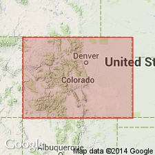
An informal name applied to a marker bed in the lower part of the Upper Cretaceous Williams Fork Formation of Mesaverde Group. Named for exposures along the Yampa River Valley near Craig, Moffat Co., CO in the Greater Green River basin. Is a claystone or diagenetically a regionally persistent altered ash bed 0.5 to 5 ft thick. Is poorly exposed. Weathers white to cream or light gray to light brown. Lacks stratification, is cohesive when moist, and displays blocky fracture. Occurs in subsurface where it is easily recognized on coal and gas exploration logs. The Buckpeak State 11-30 in sec 30, T6N, R98W (fig. 4) is an example of the geophysical response of the bed. Upper and lower contacts are usually sharp when associated with coal, and suggest minor transport where associated with lagoonal or fluvial rocks. Occurs 0-250 ft above base of formation.
Source: GNU records (USGS DDS-6; Denver GNULEX).
For more information, please contact Nancy Stamm, Geologic Names Committee Secretary.
Asterisk (*) indicates published by U.S. Geological Survey authors.
"No current usage" (†) implies that a name has been abandoned or has fallen into disuse. Former usage and, if known, replacement name given in parentheses ( ).
Slash (/) indicates name conflicts with nomenclatural guidelines (CSN, 1933; ACSN, 1961, 1970; NACSN, 1983, 2005, 2021). May be explained within brackets ([ ]).

