

- Usage in publication:
-
- Wrong Mountain quartz monzonite
- Modifications:
-
- First used
- AAPG geologic province:
-
- Basin-and-Range province
Summary:
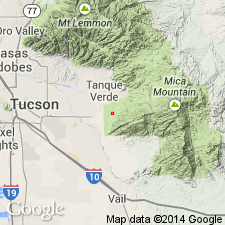
First use of the Wrong Mountain quartz monzonite (of Drewes, 1972 [1973?]). Age is Precambrian.
Source: GNU records (USGS DDS-6; Menlo GNULEX).
- Usage in publication:
-
- Wrong Mountain Quartz Monzonite*
- Modifications:
-
- Named
- Dominant lithology:
-
- Quartz monzonite
- AAPG geologic province:
-
- Basin-and-Range province
Summary:
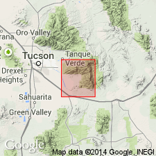
Named for Wrong Mountain on southern ridge of Rincon Mountains, Pima Co, AZ in the Basin-and-Range province. Type area designated in sec. 9, T. 16 S., R. 18 E. Is a light-brownish gray gneissic quartz monzonite. Modally some samples are granodiorite. In some places grades into Continental Granodiorite. A variety of age data: biotite concentrate dated as 24.4 +/-0.8 m.y. by K-Ar method; 24.4 +/-5.0 m.y., F-T method on apatite; Pb-Sr on whole rock of 295 m.y. Similar rock in Santa Catalina Mountains has age of 1,650 m.y obtained from zircon. Age of Precambrian Y assigned. Probably reheated during the Laramide. Is the youngest of three formations (Pinal Schist, Continental Granodiorite and Wrong Mountain Quartz Monzonite) in the Santa Catalina Group.
Source: GNU records (USGS DDS-6; Denver GNULEX).
- Usage in publication:
-
- Wrong Mountain Quartz Monzonite*
- Modifications:
-
- Age modified
- AAPG geologic province:
-
- Basin-and-Range province
Summary:
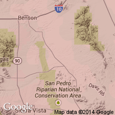
Secondary clustering of dates in 40-50 m.y. range suggest age of Late Cretaceous(?) or Paleocene. Age changed from Precambrian Y to Late Cretaceous(?) or Paleocene. Formation remains in Santa Catalina Group which now has an age range of Precambrian Y and Late Cretaceous? or Paleocene.
Source: GNU records (USGS DDS-6; Denver GNULEX).
- Usage in publication:
-
- Wrong Mountain Quartz Monzonite*
- Modifications:
-
- Age modified
- AAPG geologic province:
-
- Basin-and-Range province
Summary:
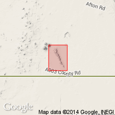
Age stated (p. 43) to be "Late Cretaceous or early Tertiary (probably Paleocene)..." Occurs in southern AZ, Basin-and-Range province.
Source: GNU records (USGS DDS-6; Denver GNULEX).
For more information, please contact Nancy Stamm, Geologic Names Committee Secretary.
Asterisk (*) indicates published by U.S. Geological Survey authors.
"No current usage" (†) implies that a name has been abandoned or has fallen into disuse. Former usage and, if known, replacement name given in parentheses ( ).
Slash (/) indicates name conflicts with nomenclatural guidelines (CSN, 1933; ACSN, 1961, 1970; NACSN, 1983, 2005, 2021). May be explained within brackets ([ ]).