- Usage in publication:
-
- Wreford limestone
- Modifications:
-
- Original reference
- Dominant lithology:
-
- Limestone
- AAPG geologic province:
-
- Nemaha anticline
Summary:
Pg. 104. Wreford limestone. Limestones, 25 feet thick, containing numerous flint nodules and separated by definite layers of flints. Form lower flint beds of Kansas section. Worked for lime at Wreford. Underlain and overlain by shales.
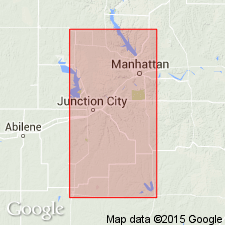
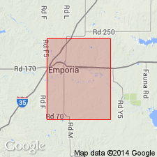
Named from occurrence at Wreford, Geary Co., eastern KS, where it has been quarried and burned for lime.
Source: US geologic names lexicon (USGS Bull. 896, p. 2374).

- Usage in publication:
-
- Wreford limestone
- Modifications:
-
- Revised
- AAPG geologic province:
-
- Nemaha anticline
Summary:
Pg. 713. Wreford limestone in Chase stage. Buff limestone and chert or flint. Thickness 35 to 50 feet. Cherty limestone at top, heavy limestone in middle, and cherty limestone at base. Is Strong flint of Prosser, 1895, and Wreford limestone of Hay. Basal formation of Chase stage. Underlies Matfield shales and overlies Garrison formation of Council Grove stage.
Source: US geologic names lexicon (USGS Bull. 896, p. 2374); GNC KS-NE Permian Corr. Chart, Oct. 1936.

- Usage in publication:
-
- Wreford formation
- Modifications:
-
- Revised
- AAPG geologic province:
-
- Nemaha anticline
Summary:
Wreford [limestone] of Chase group. Includes Schroyer limestone, Havensville shale, and Fourmile limestone members. [R.C. Moore (1936) replaced Fourmile limestone with Threemile limestone, but Nebraska Geol. Survey continues to use Fourmile limestone.] Occurs above Garrison formation of Council Grove group and below Matfield formation of Chase group. Age is Permian (Big Blue).
Source: GNC KS-NE Permian Corr. Chart, Oct. 1936.
For more information, please contact Nancy Stamm, Geologic Names Committee Secretary.
Asterisk (*) indicates published by U.S. Geological Survey authors.
"No current usage" (†) implies that a name has been abandoned or has fallen into disuse. Former usage and, if known, replacement name given in parentheses ( ).
Slash (/) indicates name conflicts with nomenclatural guidelines (CSN, 1933; ACSN, 1961, 1970; NACSN, 1983, 2005, 2021). May be explained within brackets ([ ]).

