The National Geologic Map Database is migrating to a new infrastructure. We apologize for any service disruptions during this process.
|
|---|


- Usage in publication:
-
- Worm Creek quartzite member*
- Modifications:
-
- Named
- Dominant lithology:
-
- Quartzite
- AAPG geologic province:
-
- Wasatch uplift
Summary:
Named for exposures on Worm Creek in Bear River Range, 10 mi north of the Randolph quad, [?] Co, UT. No type locality designated. Is the basal massive gray quartzite about 300 ft thick that lies at the base of the St. Charles limestone. Overlies the Nounan limestone; underlies gray fossiliferous, upper part of St. Charles limestone. Assigned to the Late Cambrian.
Source: GNU records (USGS DDS-6; Denver GNULEX).
- Usage in publication:
-
- Worm Creek quartzite member*
- Modifications:
-
- Areal extent
- Overview
- AAPG geologic province:
-
- Wasatch uplift
- Snake River basin
Summary:
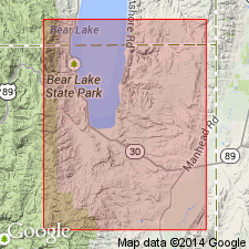
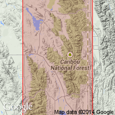
Forms the basal member of St. Charles limestone. Stratigraphically overlies the Nounan limestone. Underlies the unnamed upper part of the St. Charles. Mapped (geologic map) in southwest corner of the Montpelier quad in Bear Lake Co, ID on the Wasatch uplift. Three measured sections described: 1) Mill Creek about 5 mi west of Liberty, Bingham Co, ID in the Snake River basin, 250 ft of white quartzite that is interbedded with brown cross-bedded sandstone in the lower part; 2) north side of Fish Haven Canyon, Bear Lake Co, ID, 200 ft of white quartzite, some sandstone at base; 3) north side St. Charles Creek, Bear Lake Co, ID, 75 ft white quartzite at base overlain by 75 ft of brown sandstone. Assigned to the Late Cambrian. Stratigraphic charts.
Source: GNU records (USGS DDS-6; Denver GNULEX).
For more information, please contact Nancy Stamm, Geologic Names Committee Secretary.
Asterisk (*) indicates published by U.S. Geological Survey authors.
"No current usage" (†) implies that a name has been abandoned or has fallen into disuse. Former usage and, if known, replacement name given in parentheses ( ).
Slash (/) indicates name conflicts with nomenclatural guidelines (CSN, 1933; ACSN, 1961, 1970; NACSN, 1983, 2005, 2021). May be explained within brackets ([ ]).