The National Geologic Map Database is migrating to a new infrastructure. We apologize for any service disruptions during this process.
|
|---|


- Usage in publication:
-
- Woodward division
- Modifications:
-
- Named
- Dominant lithology:
-
- Shale
- Sandstone
- Dolomite
- AAPG geologic province:
-
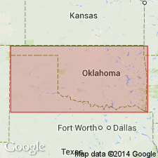
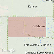
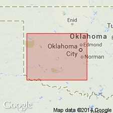
- Anadarko basin
Summary:
Named for Woodward Co, OK in the Anadarko basin. No type locality designated. Also called Woodward group. Divided into three members or formations--Dog Creek shale (base), Red Bluff sandstone, and Day Creek dolomite (top). Consists of shale, sandstone, dolomite about 300 ft thick. Overlies Shimer gypsum member of Blaine division (new). Underlies Chaney gypsum member of Greer division (new). Permian age.
Source: GNU records (USGS DDS-6; Denver GNULEX).
- Usage in publication:
-
- Woodward formation*
- Modifications:
-
- Revised
- AAPG geologic province:
-
- Anadarko basin
Summary:
Name applied to about 300 ft of shale, sandstone, and dolomite above Blaine formation and beneath Greer formation. Distinguished from overlying and underlying formations by its lack of gypsum and presence of dolomite. Divided into (ascending): Dog Creek shale member (red clay); Whitehorse sandstone member (soft red sandstone), a new name for a unit formerly called Red Bluff; and Day Creek dolomite member (hard white dolomite). Geologic map. Columnar sections. Woodward mapped in western OK in the Anadarko basin. Permian age.
Source: GNU records (USGS DDS-6; Denver GNULEX).
- Usage in publication:
-
- Woodward formation†
- Modifications:
-
- Abandoned
Summary:
Woodward formation here abandoned. "The consensus of opinion now is that the major subdivisions of the Permian should be based on unconformities at the base of the Quartermaster, Whitehorse, and Duncan(?), rather than on the presence of gypsum, as suggested in the old classification. One of these unconformities occurs near the middle of the Woodward formation, as that term was previously used." The Dog Creek, Whitehorse, and Day Creek, formerly members of the Woodward, are here raised to formational rank. The report area--southwestern OK--includes all or parts of 10 counties east, northeast, north, northwest and west of the Wichita Mountains, S. Oklahoma folded belt province and Anadarko basin. The new classification of the Permian of this area is as follows (ascending): Duncan sandstone (new), Chickasha formation (new), Blaine gypsum (revised), Dog Creek shale (rank raised), Whitehorse sandstone (rank raised), Day Creek dolomite (rank raised), Cloud Chief formation (new), and Quartermaster formation. All of these units are stratigraphic equivalents of the Double Mountain, the uppermost Permian division of TX. Geologic map. Of Permian age.
Source: GNU records (USGS DDS-6; Denver GNULEX).
For more information, please contact Nancy Stamm, Geologic Names Committee Secretary.
Asterisk (*) indicates published by U.S. Geological Survey authors.
"No current usage" (†) implies that a name has been abandoned or has fallen into disuse. Former usage and, if known, replacement name given in parentheses ( ).
Slash (/) indicates name conflicts with nomenclatural guidelines (CSN, 1933; ACSN, 1961, 1970; NACSN, 1983, 2005, 2021). May be explained within brackets ([ ]).