The National Geologic Map Database is migrating to a new infrastructure. We apologize for any service disruptions during this process.
|
|---|


- Usage in publication:
-
- Woodstock schist
- Modifications:
-
- Original reference
- Dominant lithology:
-
- Schist
- AAPG geologic province:
-
- New England province
Summary:
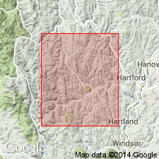
Pg. 127-158, describing Barnard, Pomfret, and Woodstock Twps., Windsor Co., southeastern VT, which lie short distance to southwest of Vershire Twp, stated: Woodstock schist may be considered by some geologists to be Vershire schist of earlier reports, but Vershire schist overlies Waits River limestone, and Woodstock schist apparently underlies Waits River limestone. If this interpretation is true, then Vershire schist and Woodstock schist represent two different formations, and a new name is needed, hence Woodstock schist is here introduced, from outcrops in Woodstock. It is represented by 2 beds intercalated in Waits River limestone, which are very quartzose, micaceous, and grade into a micaceous quartzite.
Source: US geologic names lexicon (USGS Bull. 896, p. 2370).
For more information, please contact Nancy Stamm, Geologic Names Committee Secretary.
Asterisk (*) indicates published by U.S. Geological Survey authors.
"No current usage" (†) implies that a name has been abandoned or has fallen into disuse. Former usage and, if known, replacement name given in parentheses ( ).
Slash (/) indicates name conflicts with nomenclatural guidelines (CSN, 1933; ACSN, 1961, 1970; NACSN, 1983, 2005, 2021). May be explained within brackets ([ ]).