

- Usage in publication:
-
- Woodmont shale member*
- Modifications:
-
- Named
- Dominant lithology:
-
- Shale
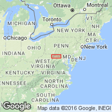
- AAPG geologic province:
-
- Appalachian basin
Summary:
Name Woodmont shale member applied to middle member of Jennings formation. Consists of greenish argillaceous and arenaceous shales alternating with thin sandstones of similar color, all of which weather yellowish green. Upper 1,000 to 1,100 ft contain Ithaca fauna. Lower 500 to 1,300 ft contain Naples fauna. Underlies Parkhead sandstone member and overlies Genesee black shale member. Age is Late Devonian.
Source: GNU records (USGS DDS-6; Reston GNULEX).
- Usage in publication:
-
- Woodmont shale member
- Modifications:
-
- Overview
- AAPG geologic province:
-
- Appalachian basin
Summary:
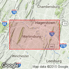
In Washington Co., MD, Woodmont shale member of Jennings formation varies in thickness between 1,600 ft in eastern and 1,200 to 1,300 ft in western sections. Conformably overlies Genesee member or, where latter is absent, rests on Romney shale; underlies Parkhead sandstone member.
Source: GNU records (USGS DDS-6; Reston GNULEX).
- Usage in publication:
-
- Woodmont Shale*
- Modifications:
-
- Revised
- AAPG geologic province:
-
- Appalachian basin
Summary:
In MD and WV regions of this report, unit is raised to formational rank as Woodmont Shale, and includes 600 ft of strata formerly assigned to the Parkhead Sandstone Member of the Jennings Formation. Not mapped in PA portion of report.
Source: GNU records (USGS DDS-6; Reston GNULEX).
- Usage in publication:
-
- Woodmont Formation
- Modifications:
-
- Revised
- AAPG geologic province:
-
- Appalachian basin
Summary:
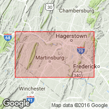
Formation rather than Shale used on this map. Woodmont described as fissile, olive-green shale and arenaceous shale with interbedded thin- to thick-bedded micaceous to argillaceous sandstone. 1,6000 ft thick in the east; decreases to 1,200 ft in the west. Overlies Romney Formation; underlies Parkhead Sandstone.
Source: GNU records (USGS DDS-6; Reston GNULEX).
For more information, please contact Nancy Stamm, Geologic Names Committee Secretary.
Asterisk (*) indicates published by U.S. Geological Survey authors.
"No current usage" (†) implies that a name has been abandoned or has fallen into disuse. Former usage and, if known, replacement name given in parentheses ( ).
Slash (/) indicates name conflicts with nomenclatural guidelines (CSN, 1933; ACSN, 1961, 1970; NACSN, 1983, 2005, 2021). May be explained within brackets ([ ]).