- Usage in publication:
-
- Wonewoc Formation
- Modifications:
-
- Named
- Dominant lithology:
-
- Sandstone
- AAPG geologic province:
-
- Wisconsin arch
Summary:
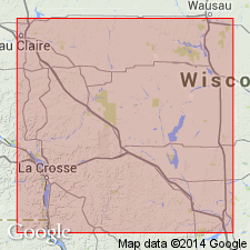
Wonewoc Formation defined as uppermost member of Elk Mound Group (new). Includes Galesville and Ironton Members. Overlies Eau Claire Formation; underlies Lone Rock Formation (new) of Tunnel City Group (new). Reference exposures noted. Age is Late Cambrian (Dresbachian-Franconian).
Source: GNU records (USGS DDS-6; Reston GNULEX).

- Usage in publication:
-
- Wonewoc Formation
- Modifications:
-
- Overview
- Dominant lithology:
-
- Sandstone
- AAPG geologic province:
-
- Wisconsin arch
Summary:
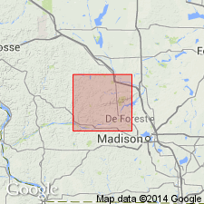
Wonewoc Formation in Sauk Co. includes the lower Galesville Member, which contains quartz sand and sandstone similar to that of the Mount Simon Formation, and the upper Ironton Member, which contains bioturbated, red-stained sandstone like that of the Eau Claire Formation in the northeastern part of the county. Galesville is typically 15 to 20 m thick in northern Sauk Co. and about 50 m thick in southeastern part of county. Ironton Member is generally a few meters thick in northern Sauk Co. and less than 1 m thick in southern Sauk Co.
Source: GNU records (USGS DDS-6; Reston GNULEX).
For more information, please contact Nancy Stamm, Geologic Names Committee Secretary.
Asterisk (*) indicates published by U.S. Geological Survey authors.
"No current usage" (†) implies that a name has been abandoned or has fallen into disuse. Former usage and, if known, replacement name given in parentheses ( ).
Slash (/) indicates name conflicts with nomenclatural guidelines (CSN, 1933; ACSN, 1961, 1970; NACSN, 1983, 2005, 2021). May be explained within brackets ([ ]).

