The National Geologic Map Database is migrating to a new infrastructure. We apologize for any service disruptions during this process.
|
|---|


- Usage in publication:
-
- Wolf porphyry*
- Modifications:
-
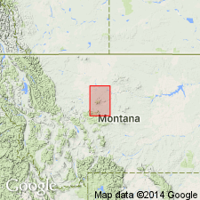
- Areal extent
- Dominant lithology:
-
- Porphyry
- AAPG geologic province:
-
- Sweetgrass arch
Summary:
Wolf porphyry. Typical granite porphyry, white to pinkish when fresh, weathering greenish or rust-colored. Forms intrusive mass of Wolf Butte, the peak south of it, and Mixes Baldy, east of Barker. Differs from Barker porphyry. Age is post-Cretaceous.
Recognized in Fort Benton quadrangle, central northern MT.
Source: US geologic names lexicon (USGS Bull. 896, p. 2360).
- Usage in publication:
-
- Wolf porphyry
- Modifications:
-
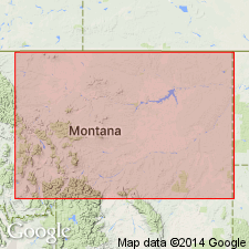
- Overview
- AAPG geologic province:
-
- Sweetgrass arch
Summary:
Pg. 221. In Little Belt Mountains, both Neihart and Flathead quartzites unconformably overlie Archean rocks, and locally the Flathead has been intruded by post-Cretaceous Wolf and Barker porphyries.
Source: US geologic names lexicon (USGS Bull. 1200, p. 4278).
For more information, please contact Nancy Stamm, Geologic Names Committee Secretary.
Asterisk (*) indicates published by U.S. Geological Survey authors.
"No current usage" (†) implies that a name has been abandoned or has fallen into disuse. Former usage and, if known, replacement name given in parentheses ( ).
Slash (/) indicates name conflicts with nomenclatural guidelines (CSN, 1933; ACSN, 1961, 1970; NACSN, 1983, 2005, 2021). May be explained within brackets ([ ]).