- Usage in publication:
-
- Wise Ridge coal member
- Modifications:
-
- Named
- Dominant lithology:
-
- Coal
- AAPG geologic province:
-
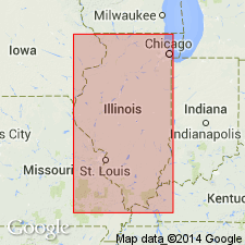
- Illinois basin
Summary:
Name Wise Ridge coal member proposed for coal formerly called Stonefort in order to restrict that name to Stonefort limestone. Thickness about 1 ft. Stratigraphically above Mount Rorah coal member (new) and below Stonefort limestone member. Age is Pennsylvanian.
Source: GNU records (USGS DDS-6; Reston GNULEX).

- Usage in publication:
-
- Wise Ridge Coal Bed
- Modifications:
-
- Revised
- AAPG geologic province:
-
- Illinois basin
Summary:
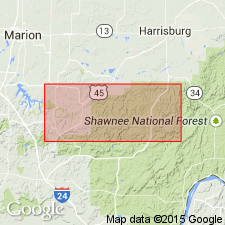
Wise Ridge reduced in rank to bed in the Spoon Formation. Though fairly persistent across the northern edge of the study area, its extent outside the mapped area is unknown. Unit is thin, nowhere exceeding 12 in. Exposed in gullies on the hill northwest of Stonefort, and the quarry east of Creal Springs. Also occurs on the east side of Brushy Creek and on the north side of the hill east of Mount Moriah [Rorah] Church. Coal is bright-banded, and blocky to thinly laminated. Underlain by a soft, rooted claystone. Separated from the Stonefort Limestone Member above by 3 to 10 ft of dark gray, black or green-black, mottled, thinly laminated clay-shale.
Source: GNU records (USGS DDS-6; Reston GNULEX).
For more information, please contact Nancy Stamm, Geologic Names Committee Secretary.
Asterisk (*) indicates published by U.S. Geological Survey authors.
"No current usage" (†) implies that a name has been abandoned or has fallen into disuse. Former usage and, if known, replacement name given in parentheses ( ).
Slash (/) indicates name conflicts with nomenclatural guidelines (CSN, 1933; ACSN, 1961, 1970; NACSN, 1983, 2005, 2021). May be explained within brackets ([ ]).

