

- Usage in publication:
-
- Winthrop sandstone*
- Modifications:
-
- Named
- Biostratigraphic dating
- Dominant lithology:
-
- Arkose
- Sandstone
- Shale
- AAPG geologic province:
-
- Cascades province
- Okanogan province
Summary:
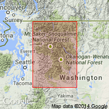
[Named for] town of Winthrop, Okanogan Co, WA. Excellent exposures are on north margin of Methow Valley 5 mi to northwest. [No type given.] Full extent and thickness unknown but extends "far to the north and to the south of the Methow Valley"; is minimum of 2000 ft thick. Consists of nearly white massive arkose sandstone and light-gray sandy shale. Fossil leaves in sandy shale "have their closest affinities with the Upper Cretaceous of Greenland". [Stratigraphic relations with over- and underlying units not given.]
Source: GNU records (USGS DDS-6; Menlo GNULEX).
- Usage in publication:
-
- Winthrop Sandstone
- Modifications:
-
- Overview
- Biostratigraphic dating
- AAPG geologic province:
-
- Cascades province
- Okanogan province
Summary:
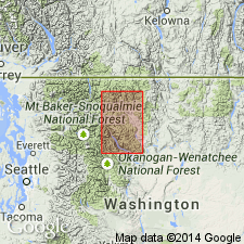
Type locality designated as exposures in secs.13-14 T35N R20E on northeast side of State HWY 20 between 5 and 6 mi northwest of Winthrop [southeastern part of Mazama 15' quad, Okanogan Co] WA. Thickness is 5700 ft in type section and as much as 13,500 ft in east limb of Goat Creek syncline [7 mi farther northwest]. Gradationally overlies Virginian Ridge Formation (new) and is gradationally overlain by Ventura member (new) of Midnight Peak Formation (new). Additional collections of fossil leaves date formation as Late Cretaceous (Cenomanian).
Source: GNU records (USGS DDS-6; Menlo GNULEX).
For more information, please contact Nancy Stamm, Geologic Names Committee Secretary.
Asterisk (*) indicates published by U.S. Geological Survey authors.
"No current usage" (†) implies that a name has been abandoned or has fallen into disuse. Former usage and, if known, replacement name given in parentheses ( ).
Slash (/) indicates name conflicts with nomenclatural guidelines (CSN, 1933; ACSN, 1961, 1970; NACSN, 1983, 2005, 2021). May be explained within brackets ([ ]).