- Usage in publication:
-
- Winslow formation
- Modifications:
-
- Original reference
- Dominant lithology:
-
- Sandstone
- AAPG geologic province:
-
- Arkoma basin
Summary:
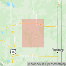
Pg. 29. Winslow formation. The rocks in northern Arkansas which have usually been called Millstone grit. Base of formation at most localities characterized by presence of quartz pebbles. Attains great thickness in Boston Mountains. Upper limit not definitely determined. Contains much more sandstone than underlying Morrow formation, and the beds are often massive and exposed in heavy ledges which give rise to escarpments. No persistent limestone beds so far as known. The sandstones have not yielded fossils, although they undoubtedly contain fossils in some places. Age is Pennsylvanian.
[Named from exposures at and around Winslow, (Washington Co.), northwestern AR.]
Source: US geologic names lexicon (USGS Bull. 896, p. 2354).
- Usage in publication:
-
- Winslow formation
- Modifications:
-
- Mapped
- AAPG geologic province:
-
- Arkoma basin
Summary:
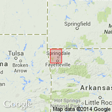
Winslow formation. Gave thickness of Winslow formation in that quadrangle as 100+ feet, and stated that it appeared to be unconformable on underlying Morrow formation and that its top was eroded. Age is Pennsylvanian.
Source: US geologic names lexicon (USGS Bull. 896, p. 2354).
- Usage in publication:
-
- Winslow formation
- Modifications:
-
- Mapped
- AAPG geologic province:
-
- Chautauqua platform
- Arkoma basin
Summary:
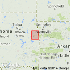
Winslow formation. Mapped Winslow formation in eastern Oklahoma, where he applied the name to 1,100 feet of strata unconformably overlying Morrow formation and composing the youngest formation in that area. In 1906 (USGS Muscogee, Oklahoma, folio, no. 182) Taff mapped as Winslow formation 800 to 1,000 feet of strata underlying what he mapped as Boggy formation and unconformably overlying Morrow formation. In latter folio he stated that his Winslow formation was = Atoka, Hartshorne, and McAIester formations of other areas in Oklahoma. Age is Pennsylvanian.
Source: US geologic names lexicon (USGS Bull. 896, p. 2354).
- Usage in publication:
-
- Winslow formation
- Modifications:
-
- Mapped
- AAPG geologic province:
-
- Arkoma basin
Summary:
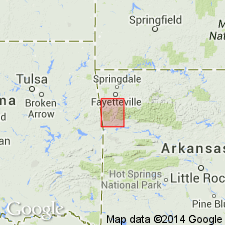
Winslow formation. Mapped Winslow formation in its type area, gave its thickness as 2,800+/- feet, stated that it rested conformably on the Morrow, and that it was overlain by alluvium. Age is Pennsylvanian.
Source: US geologic names lexicon (USGS Bull. 896, p. 2354).

- Usage in publication:
-
- Winslow formation†
- Modifications:
-
- Abandoned
- AAPG geologic province:
-
- Arkoma basin
- Chautauqua platform
Summary:
†Winslow formation. Abandoned. The strata included in Winslow formation are of late Pottsville and early Allegheny age. That it is a blanket term covering rocks susceptible of subdivision into several formations has long been recognized by J.A. Taff, C. Croneis (Arkansas Geol. Survey Bull., no. 3, 1930), and other geologists. According to field work of B. Parks and T.A. Hendricks, all of it that is present in Fayetteville quadrangle is now known to belong to Atoka formation. In Winslow quadrangle, it included Atoka formation, Hartshorne sandstone, and lower part of McAIester formation; and as used in some other areas it included, in addition, upper part of McAIester formation, the overlying Savanna sandstone, and at least the lower part of Boggy shale. This blanket name has therefore been discarded. (See references under Akins shale member.)
Source: US geologic names lexicon (USGS Bull. 896, p. 2354).
- Usage in publication:
-
- Winslow formation
- Modifications:
-
- Not used
- AAPG geologic province:
-
- Arkoma basin
- Chautauqua platform
Summary:
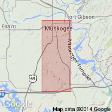
Pg. 511. Winslow formation. Rocks mapped in Muskogee County, Oklahoma, as Winslow formation on State geological map have been subdivided into units herein designated as Atoka, Hartshorne, McAlester, and Savannah formations, and lower part of true Boggy shale.
Source: US geologic names lexicon (USGS Bull. 1200, p. 4267).
For more information, please contact Nancy Stamm, Geologic Names Committee Secretary.
Asterisk (*) indicates published by U.S. Geological Survey authors.
"No current usage" (†) implies that a name has been abandoned or has fallen into disuse. Former usage and, if known, replacement name given in parentheses ( ).
Slash (/) indicates name conflicts with nomenclatural guidelines (CSN, 1933; ACSN, 1961, 1970; NACSN, 1983, 2005, 2021). May be explained within brackets ([ ]).

