- Usage in publication:
-
- Wilson Ridge Formation
- Modifications:
-
- Named
- Dominant lithology:
-
- Sandstone
- Mudstone
- AAPG geologic province:
-
- Appalachian basin
Summary:
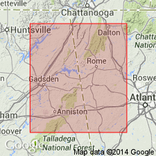
Wilson Ridge Formation is here named in Cleburne Co., AL, and assigned to the Chilhowee Group in AL and GA. Unit consists of orthoquartzite, feldspathic quartzarenite, and silty mudstone. Represents tidal-flat deposits with characteristic cross-bedding, ripple-laminations, and Scolithus burrows. Measures 184 thick at type section. Thickness ranges from 10 to 425 m. Transitionally overlies Nichols Shale and conformably underlies Weisner Formation, both of Chilhowee. Age is Early Cambrian.
Source: GNU records (USGS DDS-6; Reston GNULEX).

- Usage in publication:
-
- Wilson Ridge Formation*
- Modifications:
-
- Overview
- AAPG geologic province:
-
- Piedmont-Blue Ridge province
Summary:
The Wilson Ridge Formation of Mack (1980) of the Chilhowee Group is here accepted by the USGS. It overlies the Nichols Formation and underlies the Weisner Formation in the Bill Arp and Rome thrust sheets in GA and AL. Age is Early Cambrian.
Source: GNU records (USGS DDS-6; Reston GNULEX).
For more information, please contact Nancy Stamm, Geologic Names Committee Secretary.
Asterisk (*) indicates published by U.S. Geological Survey authors.
"No current usage" (†) implies that a name has been abandoned or has fallen into disuse. Former usage and, if known, replacement name given in parentheses ( ).
Slash (/) indicates name conflicts with nomenclatural guidelines (CSN, 1933; ACSN, 1961, 1970; NACSN, 1983, 2005, 2021). May be explained within brackets ([ ]).

